I did it! All 50 states! I cannot describe how excited I was when we found out that BU would be starting their season out in Alaska this year. I absolutely did not expect to get out there this soon.
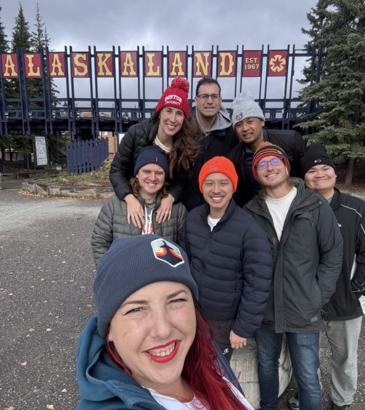
I’ll definitely be back; I still have a solid 2+ week itinerary in the back of my mind (and already completely planned out on Google Sheets) that I’ve been saving up for, but we couldn’t turn this opportunity down. And we definitely couldn’t turn down the chance to knock off another national park. Denali put us officially over halfway there, but just this past week Chiricahua National Monument was officially designated the 64th national park in the United States. So we’re exactly halfway! And have an amazing new national park to explore in one of our favorite states. And I mean, come on…it’s called the “Wonderland of Rocks.” I’m going to love it.
But back to Denali.
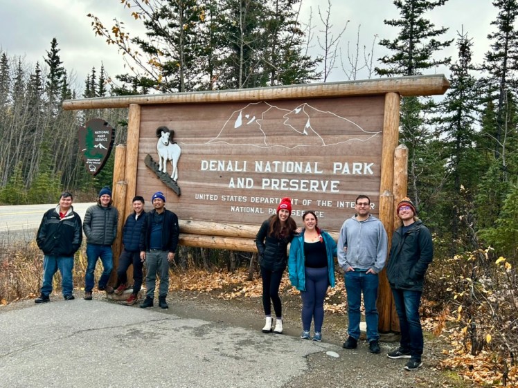
Denali National Park is named after its crown jewel, and the tallest mountain in United States, Mount Denali. Trump — in his neverending slew of distraction and bullshit — has “officially” reverted the name back to Mount McKinley, but we’re obviously not going to acknowledge that. And luckily, they left the name of the park alone. Denali is the third largest park in the NPS, only being eclipsed by its fellow Alaskan parks: Wrangell-St. Elias and Gates of the Arctic. (Fun fact: Death Valley — the last park we went to — is the largest of the national parks in the lower 48.) Denali contains more than 6 million acres, making it larger than the state of New Hampshire. The park is currently made up of 16% glacier, but that number is dwindling thanks to climate change. All the more reason to visit these beautiful parks as soon as you get the opportunity.
We landed in Fairbanks on September 29 which made it very difficult to make concrete plans. This is pretty solidly past peak season and well into unpredictable territory. Sometimes it’s 60 degrees, sometimes there’s already feet of snow. We just had to cross our fingers and toes and hope that the park road would be open past the three mile mark. And honestly? We really couldn’t have asked for a better week, all things considered.
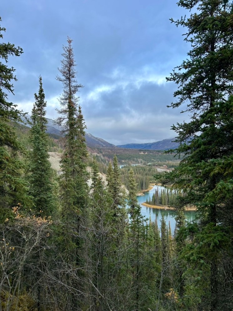
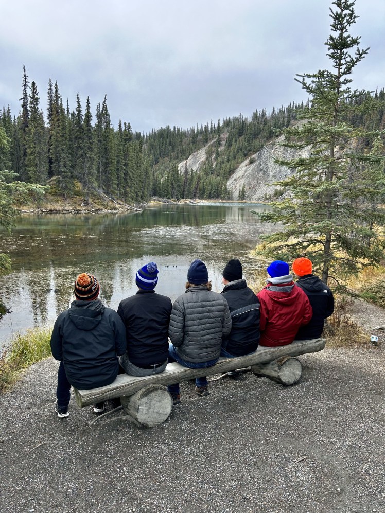
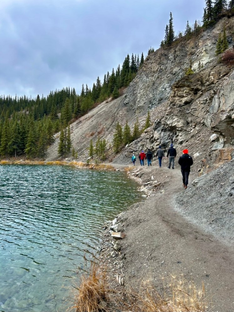
Our first day in the park was in the mid-30s and they really hadn’t gotten any accumulating snow yet. We began our afternoon by hiking the Horseshoe Lake Trail, a fairly easy 2 mile loop around–you guessed it–Horseshoe Lake and the Nenana River (pronounced like “banana”).
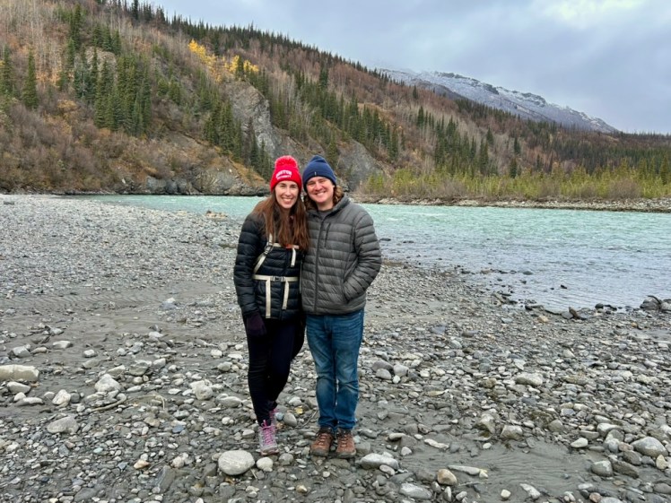
The hike was beautiful! I was truly shocked that there was still some color in the trees. I expected foliage season to be completely over by this point, but we got plenty of beautiful yellows and some oranges throughout the week.
The art:
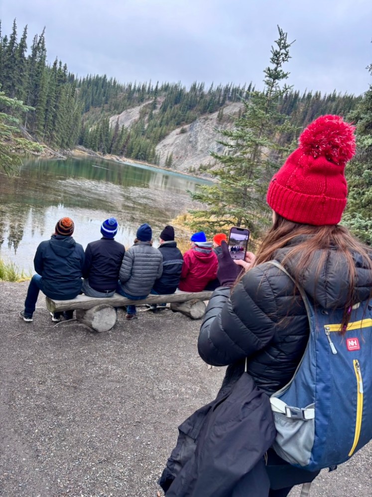
The artist:
Just look at all that color!
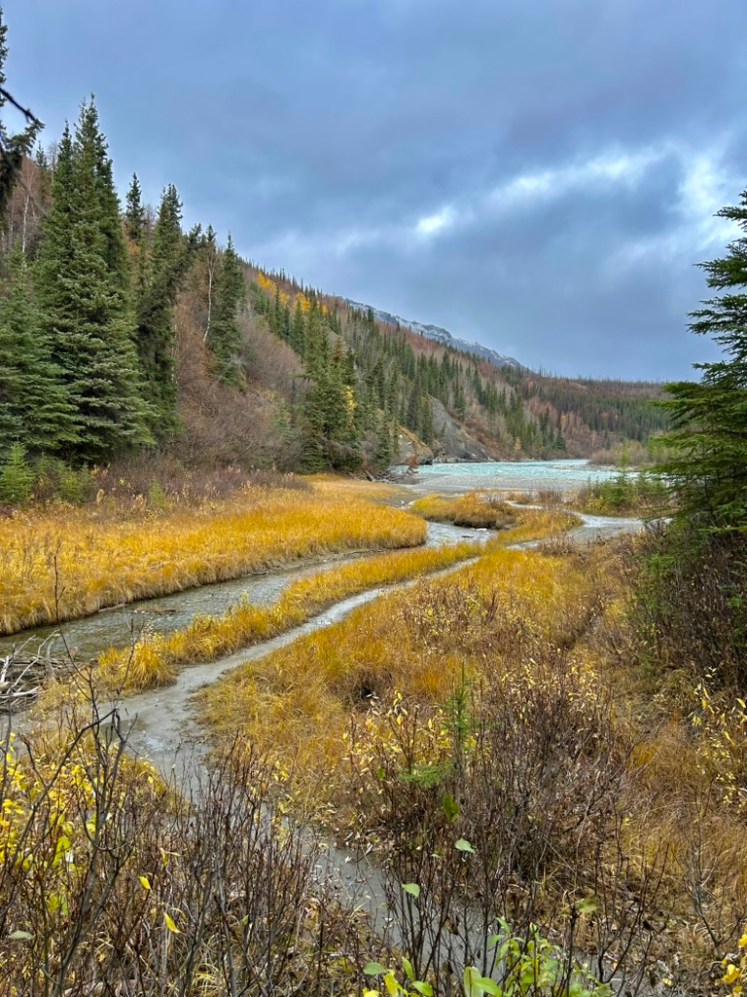
And so much solitude! There were definitely people around, but we really didn’t encounter that many throughout our time in the park. I can’t recommend going in early October because of the unpredictability, but it definitely had its benefits.
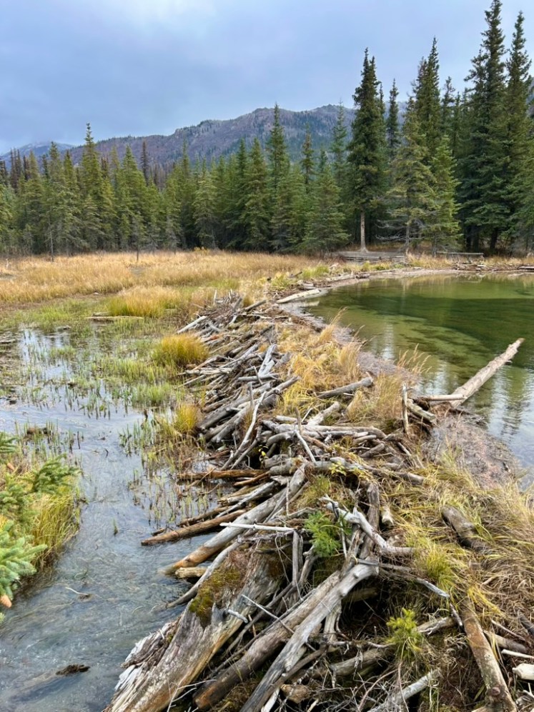
Dam!
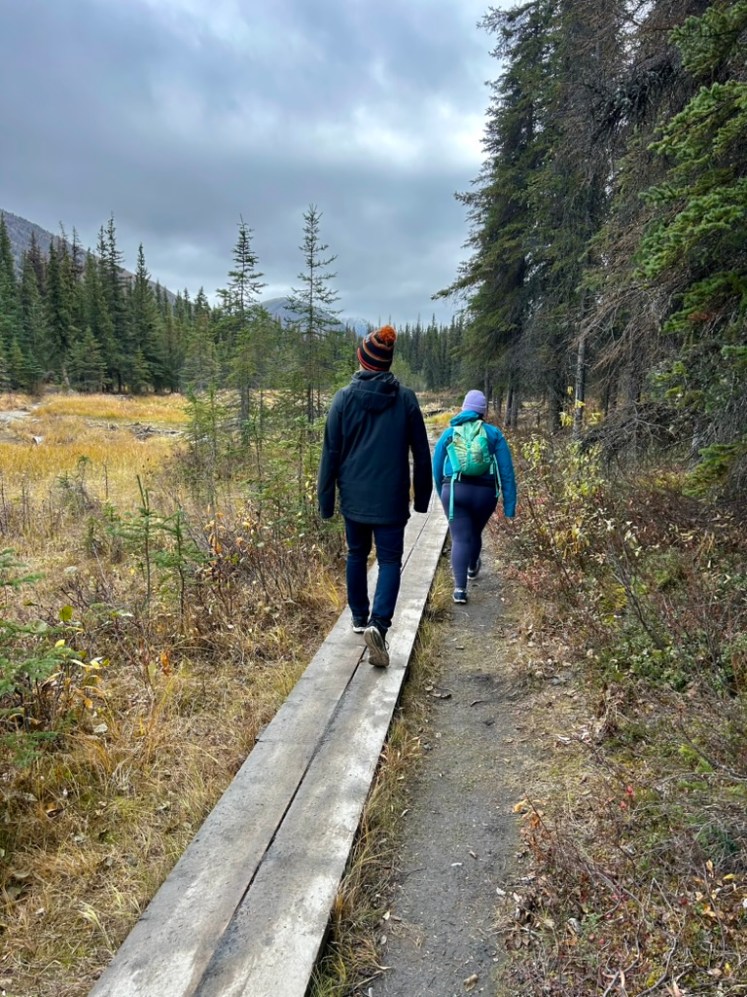
I really enjoyed the back half of this loop where you get to skirt right around the lake.
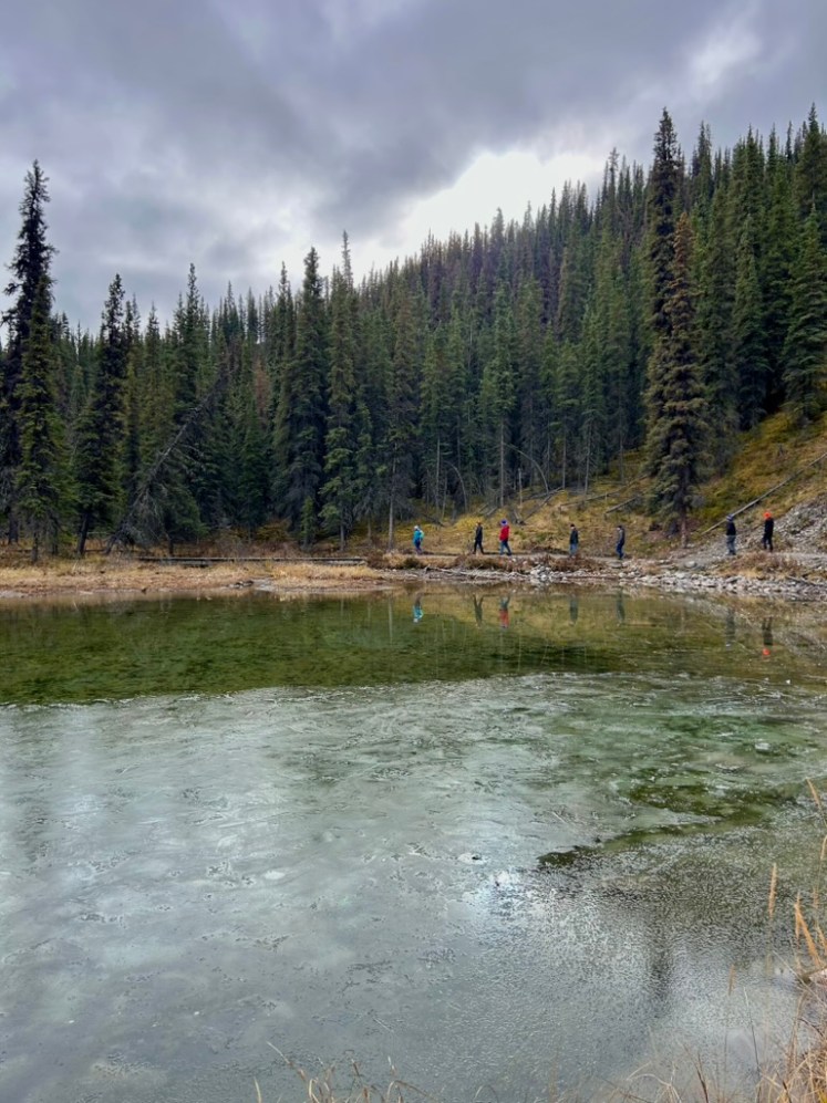
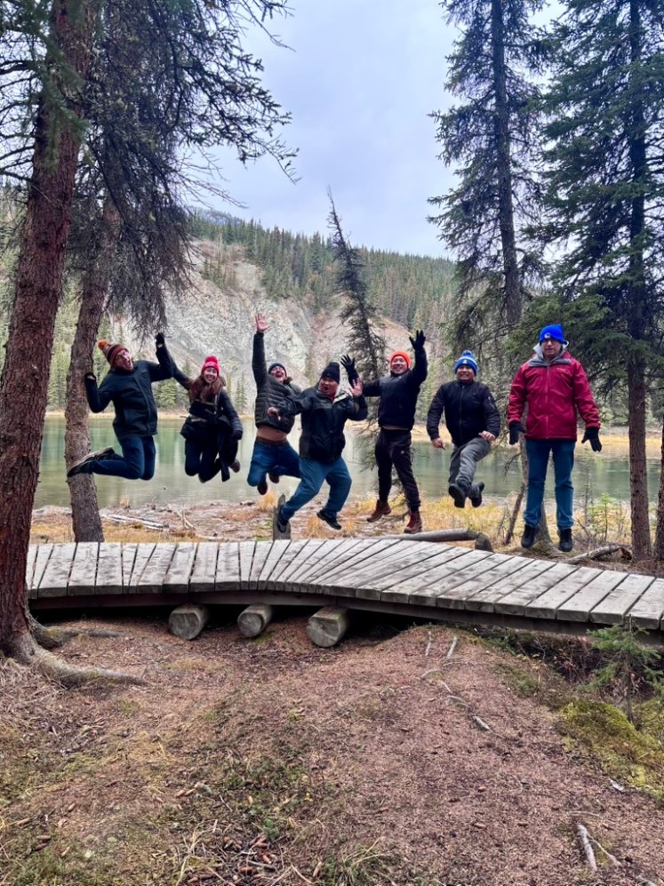
And we had way too much fun taking these jumping photos on the boardwalk.
At this point, we knew we were going to get a few inches of snow starting in the afternoon so we decided to squeeze one more hike in just in case we were snowed in at the AirBNB the following day. So we drove out as far as our rental car agreement would allow us to go and hiked the Savage River Loop.
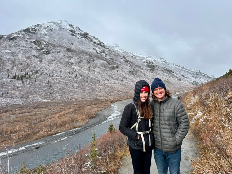
It was a little bit higher elevation at this point, and the wind was really whipping, so it was significantly colder and there was some light snow on the ground.
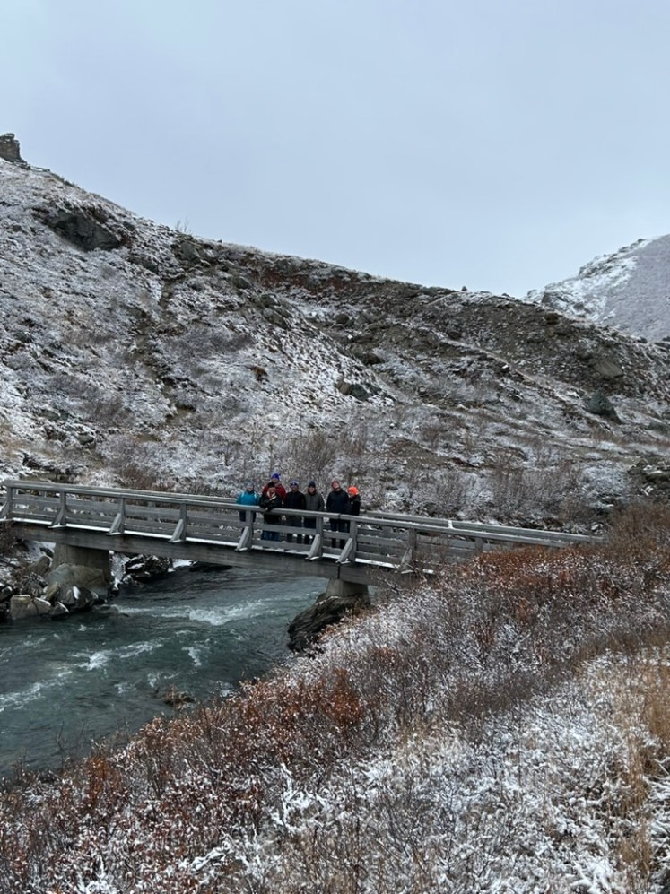
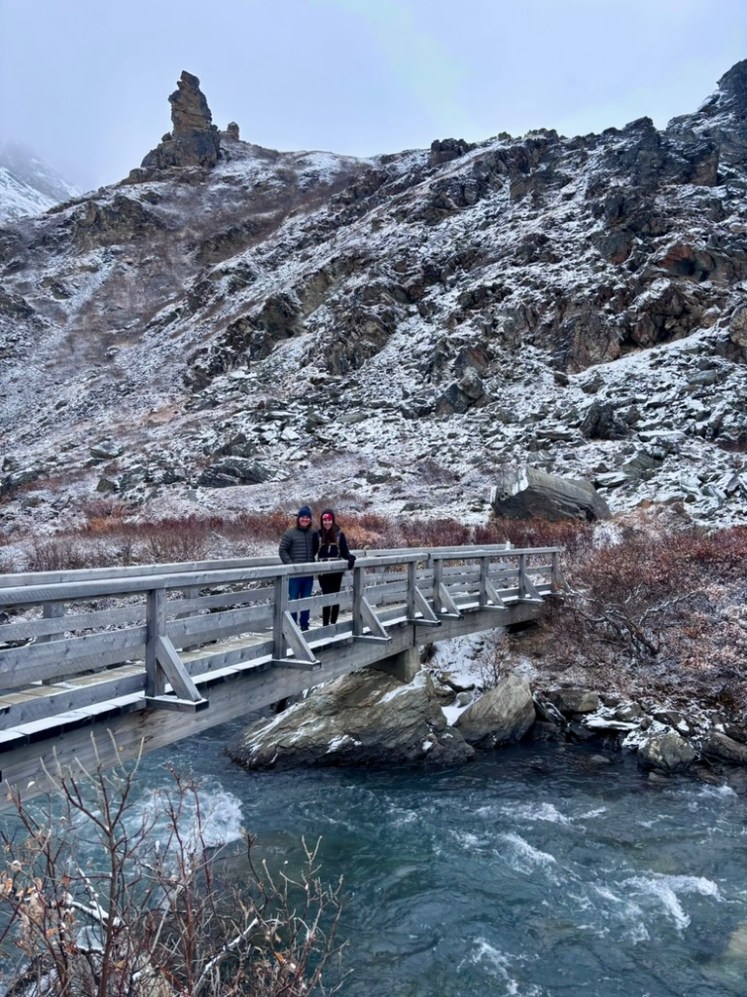
But I really liked this hike and it was another easy sub-2 miler.
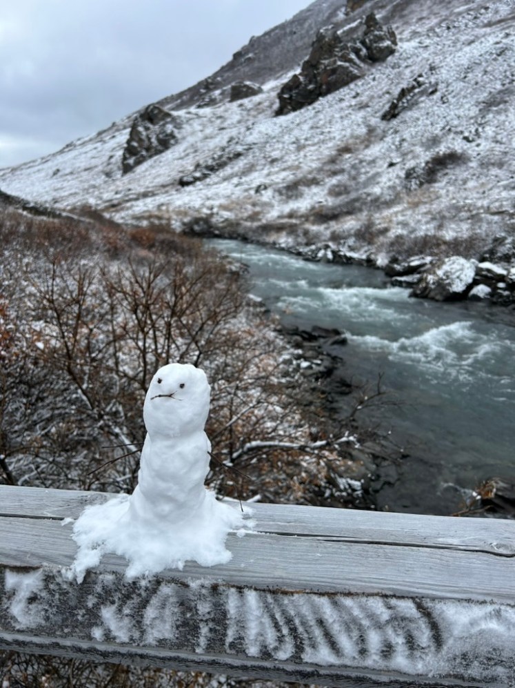
Plus, we got to see this cute guy at the turnaround point!
Let’s talk about the park road for a second. The Savage River Loop trailhead is at mile 15 of the 92 mile Park Road that cuts through Denali National Park and marks the end of the paved section. During the summer months, private cars are only allowed as far as Savage River and then you have to hop on a bus, all privately-owned by outside companies. Most rental car agreements in the area also strictly forbid you from driving past this point on the Park Road. I was a little bummed by this, because the road was open all the way to mile 30 while we were there (which can be rare at that time of year) and I really wanted to see more. If the weather had been perfectly clear, I probably would’ve just said screw it, let’s try to get a good view of Denali, but we decided to be rule followers. You weren’t allowed to get out of your vehicle in the last six miles of the open road anyway because there had been so much bear activity that week. It would’ve been nice to see one from the car though. Alas!
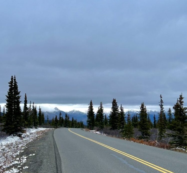
The thing I find the most fascinating about the park road is that it is the only vehicle access to any part of the park, just this one road. And most of the 92 miles were completed all the way back in 1938, but it wasn’t actually connected to the park entrance until 1957, which sounded insane until I then learned that the George Parks Highway (AK-3 that connects Anchorage and Fairbanks) wasn’t completed until 1971! Before that, Alaskans had to travel exclusively by railroad (the stretch the Parks Highway was built alongside), bush planes, or old sled trails to this part of the state. The only existing vehicle road at this point was further in the interior, bypassing the park entirely.
Visitation obviously skyrocketed (by Alaska standards) upon the completion of the George Parks Highway and the park almost immediately closed the park road to private vehicle traffic and set up the shuttle system they have today. The park now receives roughly 550,000 visitors every year.
Sure enough, we got a wonderful coating of snow overnight.
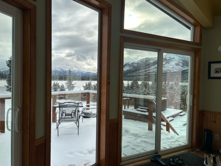
Side note: How gorgeous was this view from our AirBNB?
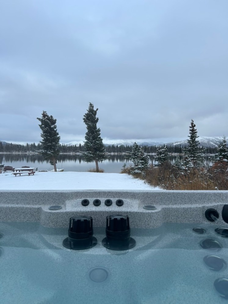
And yes, we did spend several hours in that hot tub the night before in the midst of the snowfall. It was magical.
We had a relaxing morning and then decided to just do one hike and then head back to the visitors center and park road to see if there were any programs going on or if visibility had improved at all since the day before. (And to desperately try to see a moose that the rangers kept telling us we’d see out on the park road!)
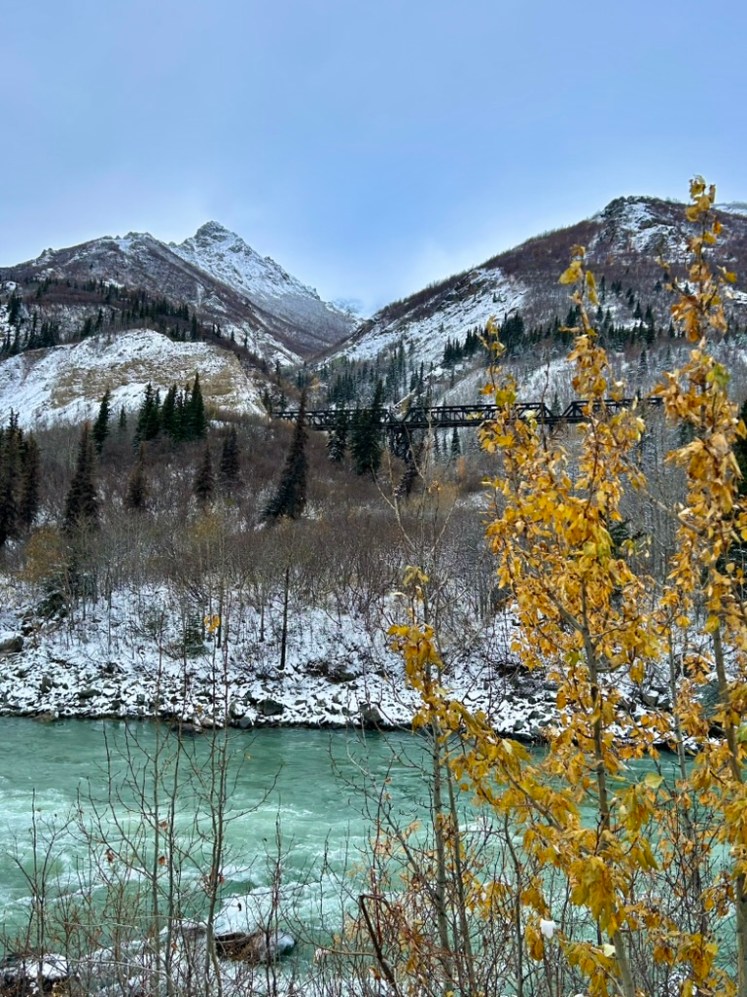
So we drove down just south of the official park entrance to the Triple Lakes Trailhead to hike the Oxbow Trail. The roads weren’t the best. I would’ve expected Alaska of all places to be on top of their plowing, but there were some sketchy patches on our way down the George Parks Highway back toward the park. I guess I was just spoiled growing up in Northern New York where, no matter how many feet of snow we got the night before, the roads were always fully plowed by 7am and we’d have to get our butts to school.
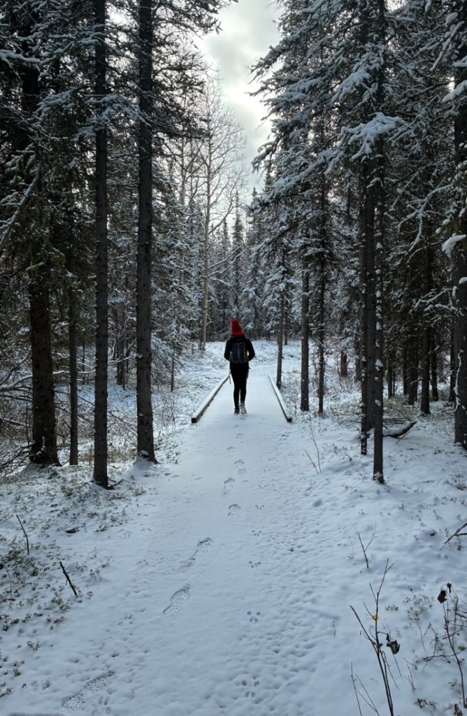
The trail, itself, was in good shape, though, and we had no problems with just our boots. We were also the only ones at the trailhead and clearly the first ones hiking the trail that day so it was really cool to see nothing but animal prints ahead of us.
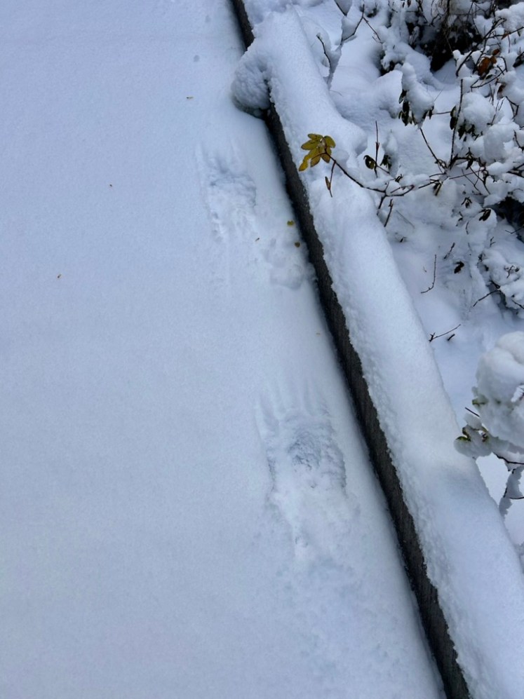
Including these sick bear tracks that were only moderately terrifying considering this trail exists completely within a small peninsula surrounded by the Nenana River on every side so if we were in this tiny area and bear prints were in this tiny area… Luckily, there were eight of us — most of whom were loud boys who took my demand to keep making “loud human noises” to heart — so we never actually encountered the bear.
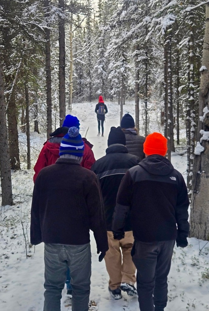
And I absolutely ADORE this photo my friend got of me leading the boys into the bear-infested forest.
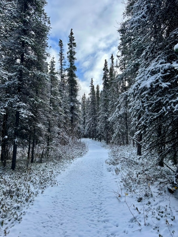
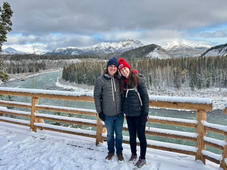
This honestly might have been my favorite hike of the entire trip. It was super easy, but the snow was beautiful, the forest was peaceful, and it was so much fun to try to identify all the prints around us. Plus, it began and ended at one of my favorite viewpoints we came across:
We went to the visitor center after this and joined in on a ranger-guided walk where we learned a ton about different animal prints and the flora and fauna of the area. It was perfect to then be able to immediately reflect back on what we’d seen on our hike and figure out what other creatures had been in the forest with us.
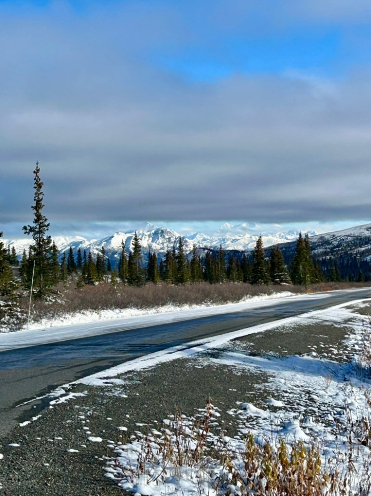
The park road was in a little better shape than the state highway, but there were still some rough, icy patches. It wasn’t until this past week that the road officially closed up to the visitor center (only mile 3) where it will remain closed until the spring thaw. Which reminds me, I actually had a few more things to say about the park road. (I know, I know, Nicole talking endless about a scenic road. Shocking.) But lets talk about the Pretty Rocks Landslide.
This landslide has existed since they built the road at around the halfway point (mile 45). The dirt road was in constant motion from year to year as the rocks slowly slid down the hill. However, one of climate changes biggest impacts in this park is the melting of permafrost. Scientists predict that with just 1-2 more degrees of global warming, permafrost in Denali National Park will melt entirely. That’s crazy. This will obviously lead to larger issues with melting glaciers and trapped carbon being released into the atmosphere, but the most visible impact is the increase in landslides. As long frozen soil deep into the ground begins to thaw, the soil loosens and becomes dislodged. For example: Pretty Rocks.
You can read all about it and see some pretty cool photos and timelapse videos of the changing landscape here, but the gist of the matter is: the park and the park road existed in peace alongside this slow rockslide for decades, requiring only minor road repairs every few years. Until 2014. This was when road crews started to realize that more and more rebuilding was required every year to keep the road operational through this area and they began monitoring the situation more closely. Around 2014, the ground (and thus the road) was moving a couple of inches per year. By 2017, their new state-of-the-art monitoring system showed the ground shifting a couple of inches every month. By 2018, every week. By 2019, inches every single day. By the time the park had to officially close the park road at this location in 2021, the ground was shifting .65 inches every HOUR. Isn’t that insane?
So the road was closed at mile 45 indefinitely, as they began working on a project to build a bridge over the rockslide. This cut off access to more than half the national park, with all tour buses now needing to turn around at the 40 mile mark. And it completely cut off access to Eielson Visitor Center, which lives at mile 66 (a nearly FOUR HOUR drive on the shuttle buses) and provides one of the clearest views of Mount Denali on a clear day. But I have very good news: bridge construction concluded on August 28th of this year, with hikers and cyclists being immediately allowed to cross it! And normal bus traffic will resume when the road reopens in summer 2027. So if I’ve inspired you to go visit this magnificent national park, you will be able to explore it in its entirety next summer for the first time in six years.
Okay, I’m done talking about roads and lecturing about climate change. On to our final day in the park:
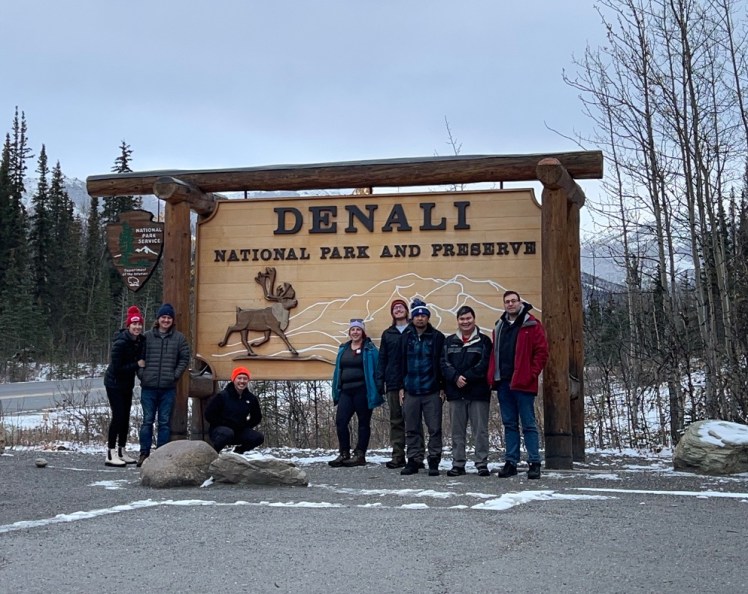
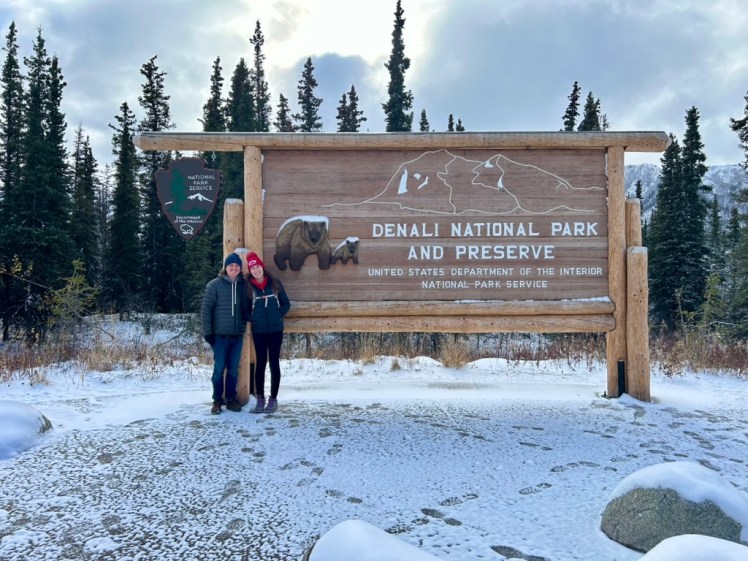
We got a lot of joy out of taking out pictures with all the different park signs because they all had different animals on them.
I saved our toughest hike for our last morning, because visibility was supposed to be the most promising. So we set off down the park road one last time to hike the Savage Alpine Trail. This is a one-way point-to-point four-miler that begins at Savage River Campground, goes up over the ridge, and ends at the Savage River Loop Trailhead, where we had hiked two days prior. Luckily, our group had two rental cars so we dropped one off at the end of trail and then drove backwards to begin our hike.
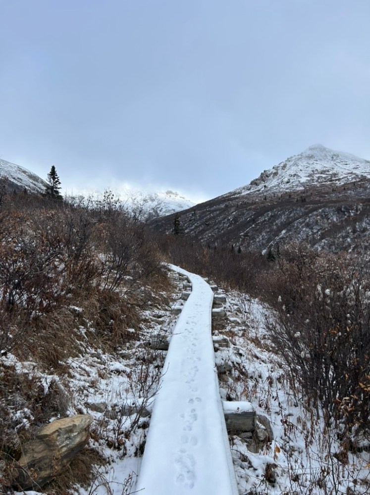
And once again, it was just us and our animal prints. We saw a few other human footprints at the very beginning of the trail, but then it was all fresh powder. Thank you AllTrails, my sense of direction, and the dozens of rabbits and dall sheep that for some reason stuck to the human trails for helping us stay on track.
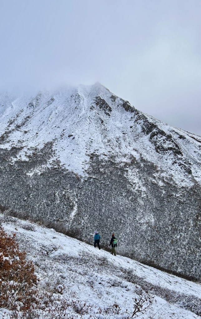
And a huge shoutout to my travel companions who trusted me to lead them up into the Alaskan Wilderness through six inches of snow on a trail that had not been traveled in at least 48 hours and, honestly, probably wasn’t traveled on much since we left.
A lot of the hike up was still very cloudy, but we did see several moose on the next ridge over! I didn’t get any photos because my phone is absolutely not good enough for that, but it was very cool to see.
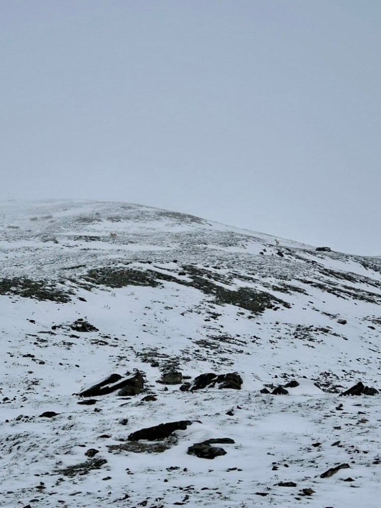
And we finally saw the dall sheep we had been following once we got to the top of the ridge! You can see mom and dad in the above photo. The two babies were hiding behind each parent as we stopped to take photos of them.
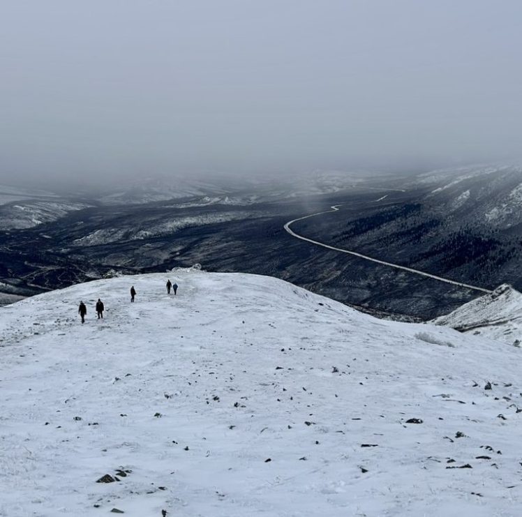
The peak of the hike was the hardest to navigate. I could clearly see the trail we took to get back down the other side, but it took some trial and error to find out the best path to get there. I mean, would you know where to go?
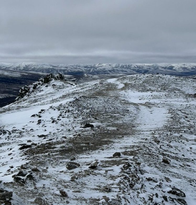
It didn’t help that the snow drifts were over a foot high at this point, but we figured it out! We broke out the hiking poles and the microspikes and nobody fell off the side of the mountain!
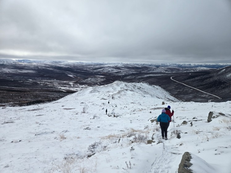
And the clouds continued to hang, thick and heavy, right above our heads.
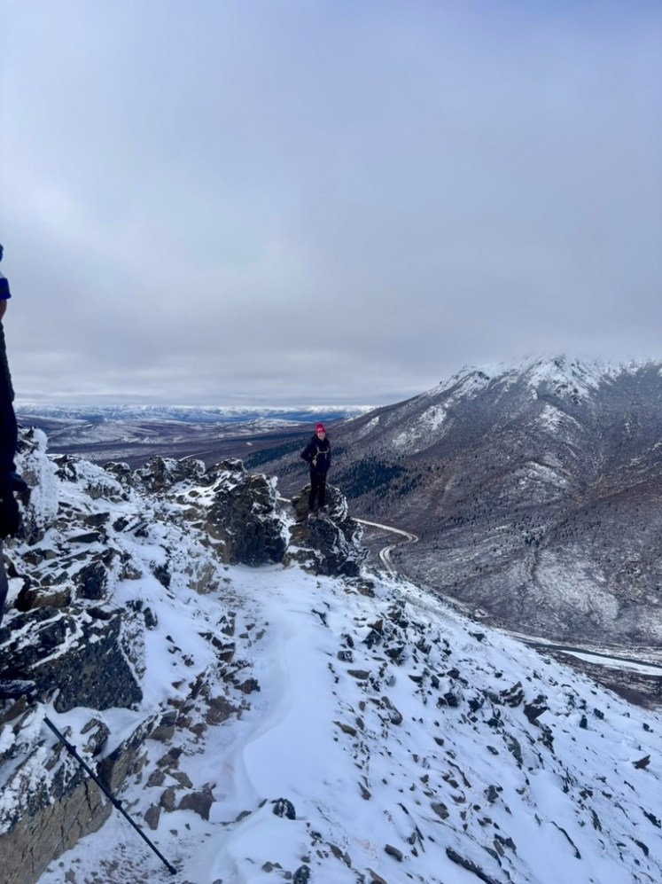
But Denali’s out there somewhere. Trust me.
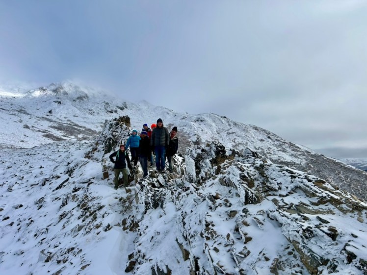
It got a little safer less fun as we started to descend back down toward the river, but there were a lot more fun rocks to play on.
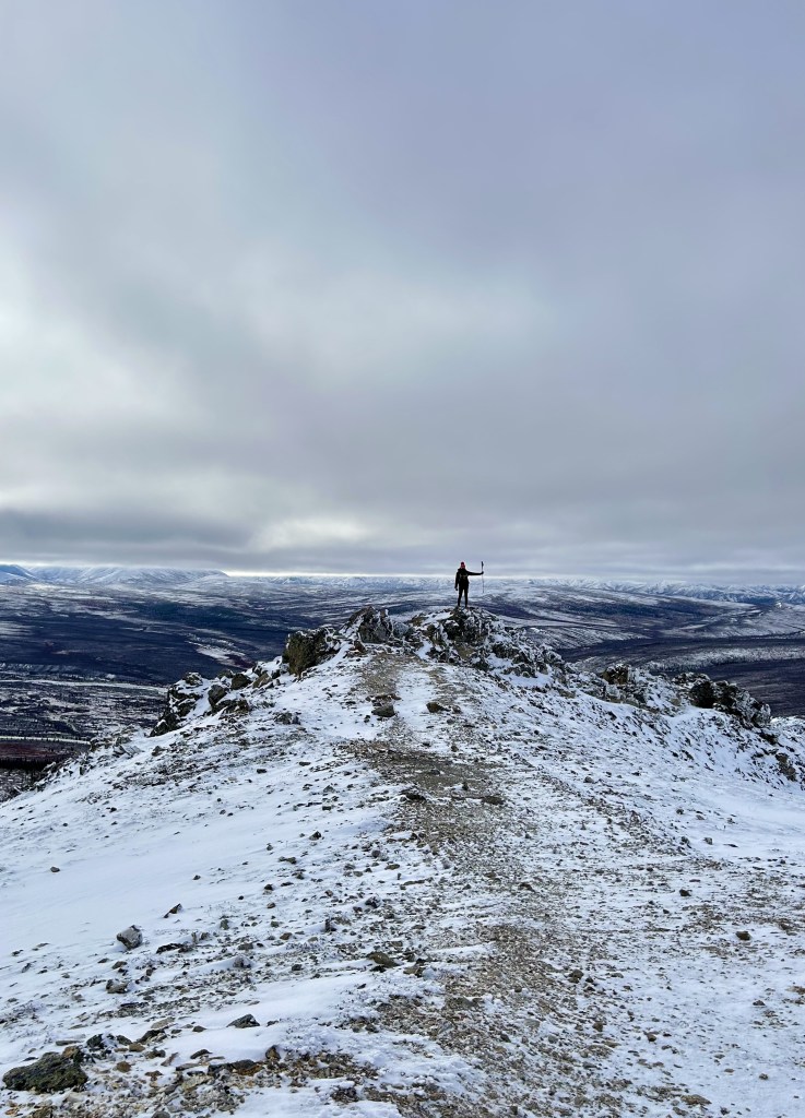
And the sun was trying so hard to dissolve the clouds.
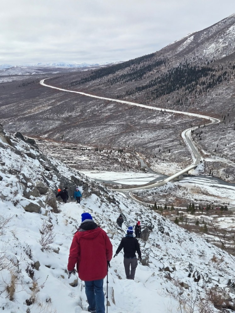
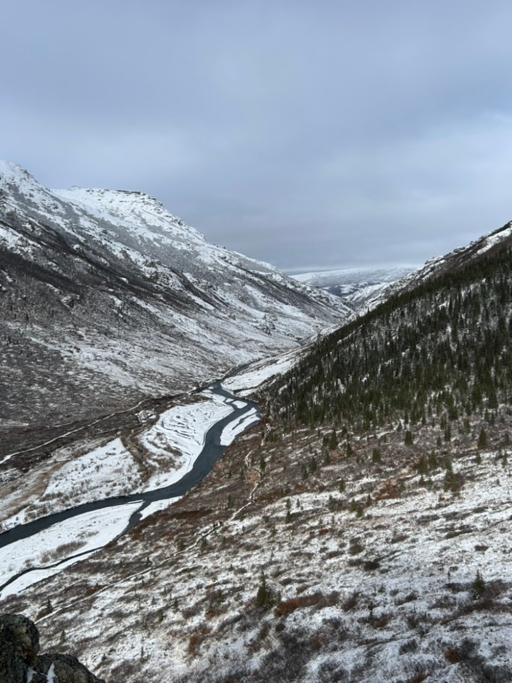
We finally came around a corner after endless switchbacks and could see back toward the river and the loop trail we had done two days prior.
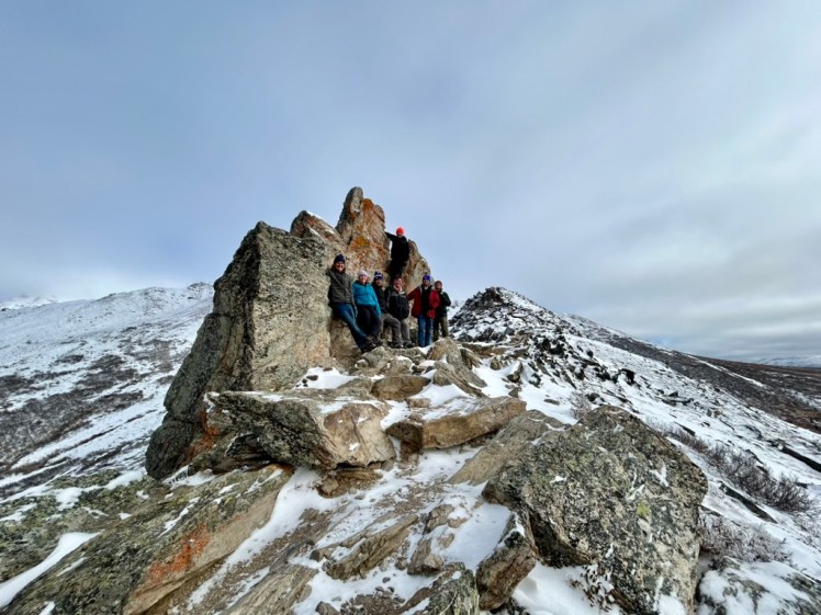
And Mangel and I got to climb all the way up this really cool rock!
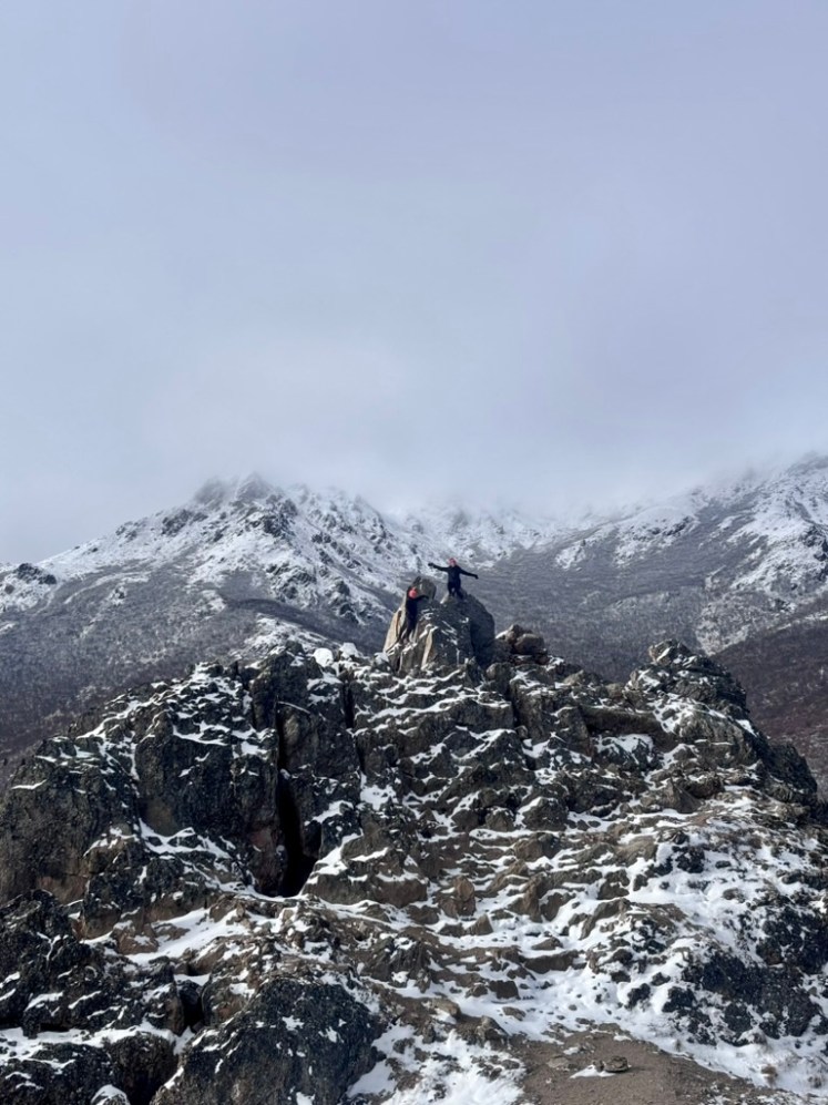
For reference, this is the photo I took looking back down at the others:
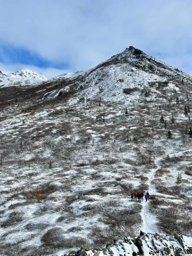
And you can see the ridge we’d just hiked down from (and how much clearer the sky was already turning now that we were, of course, back down at lower elevation). It’s fine, I’m over it.
And then it was time for us to say goodbye to the national park and make our way back up to Fairbanks for some hockey. And we officially became part of the 70% of national park visitors who never actually get to see the mountain, herself. The park is so massive, and the Alaska Range is so tall, that the park produces its own weather and is often completely cloud-covered. Even of those who do see the mountain, only about 10% of visitors every actually see it in its totality.
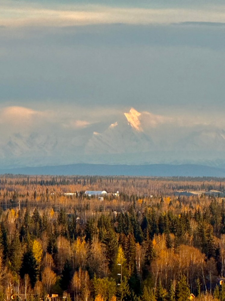
Of course, on the way down to the park and on our first day back in Fairbanks, the skies were pretty clear so we could at least see the Alaska Range in the distance, but I don’t think we ever actually got eyes on Denali. Not that what we did see of the Alaska Range wasn’t incredibly impressive on its own. I got this shot on my friend’s fancy iPhone with the super zoom. I can’t imagine just living in a city with these off in the distance. It’s so cool.
We spent the rest of our weekend in Fairbanks doing all the touristy stuff we could, including seeing the “North Pole.”
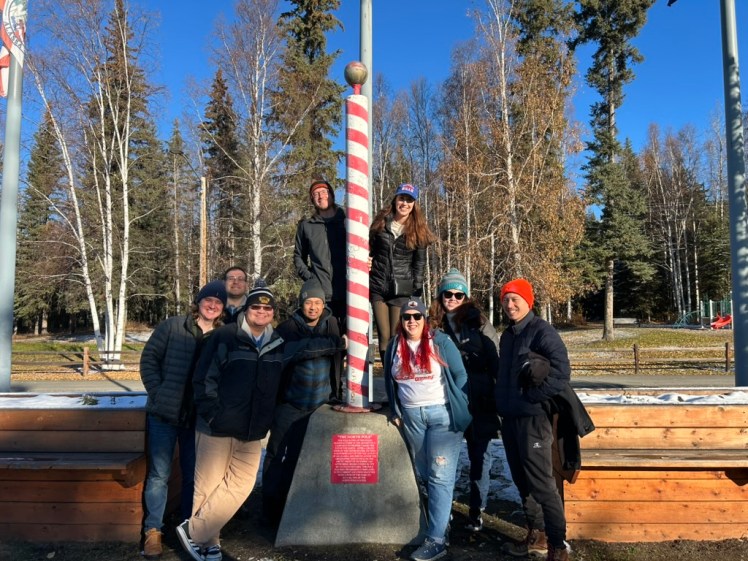
Another fun fact: They made two copies of this “north pole” and they sent the second one up in an Alaskan Airlines flight over the actual, geographic north pole and shoved it out of the cargo hold hoping it would roughly land in the right spot. I find that so delightfully hilarious.
And of course there was the hockey:
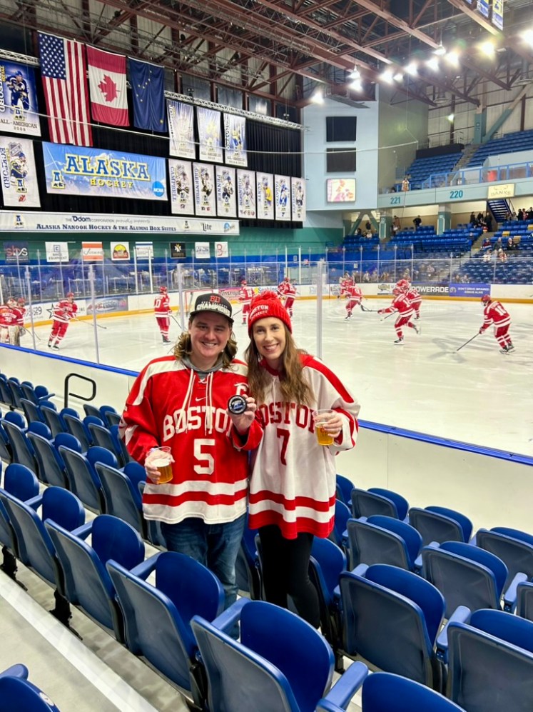
BU won both games, no big deal.
Now, let’s talk Northern Lights — the elephant in the room now that I’ve talked about everything else quintessential Alaska. The aurora borealis peaks in Alaska around the Equinox with late-September – October being one of the best times to see the lights. The only issue? You need clear skies!!
So for the entire trip up until this point, we would get the alerts on our phone that the aurora was peaking that night only to run outside and stare straight into grey nothingness. It was incredibly frustrating.
So then we get back to Fairbanks and the skies are supposed to be clear overnight, but then Friday passes us by with thicker clouds than expected and no aurora to be seen. Morale was low. But the forecast was starting to look better and better for the following night (our last night in Alaska), so we held on to that glimmer of hope.
Saturday night arrived and one of our friends was flying out at 1am so a bunch of us piled into one of the rental cars at midnight to go drop him off and go northern lights hunting. And before we even got to the airport we started noticing some faint green bands streaking overhead.
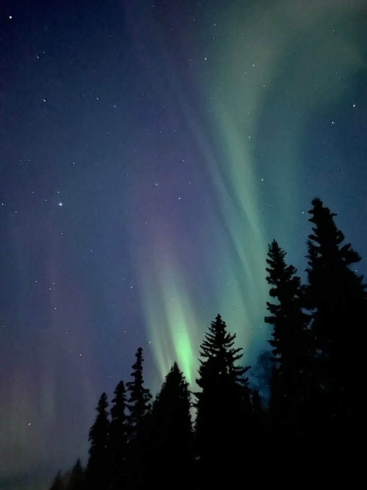
Morale was back up, baby!
So we dropped our friend off at the airport and drove up out of the city to a known viewpoint. It started with just some small green banding, but then some reds started to come out.
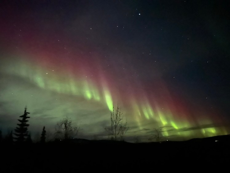
And then the green really exploded!
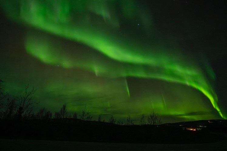
Obviously your camera picks up way more color than you can see with your naked eye, but you’re just going to have to trust me that we could fully see this entire range of colors with the naked eye. The below picture is probably the closest to what it actually looked like in person:
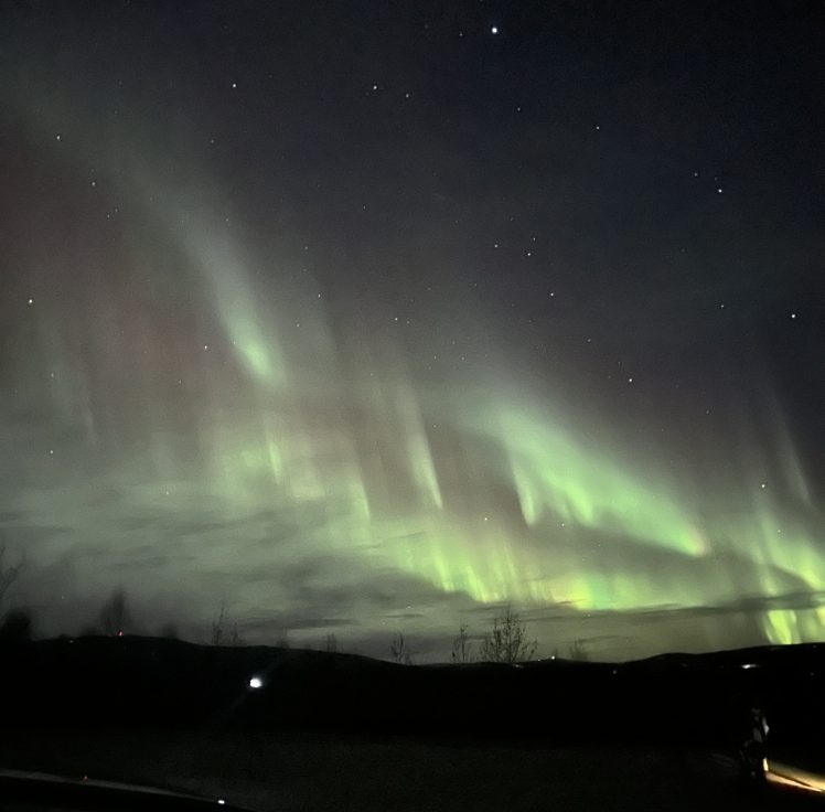
And this below video is my magnum opus. I’m so glad I was able to capture it on camera when they really started to dance right above us — and the purples really started to come out. It was so magical. We were truly so lucky.
After very little sleep and an 8am alarm to watch early morning NFL, it was finally time to head back to the airport where — of course — the skies were clear enough yet again to see all the way to the Alaska Range.
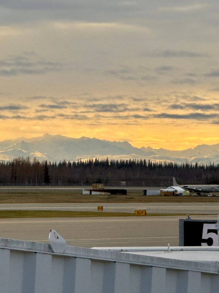
But that’s okay. As I said, we will 1,000% be back to Alaska to spend some serious time exploring it by land, sea, and air. And dammit…I will finally see that mountain if it kills me!
Until next time!

