Welcome back! And prepare yourself for some nerdy volcano discussion. Because unlike Maui, which only has one active volcano (Haleakalā, who hasn’t erupted since the 1500s), the Big Island is comprised of five volcanoes, three of which are still active: Hualālai, Mauna Loa, and the star of Hawai’i Volcanoes National Park…Kīlauea. So the landscape of this island is changing literally day by day. I was fascinated by these majestic volcanoes and the impacts they’ve had on Hawai’i even in the last decade so this is going to be a pretty science-heavy post. You’ve been warned.
But let’s back up. I woke up bright and early once again and made my way up to the top deck for sunrise. We were still making our way toward the port of Hilo as I emerged up top and looked over the railing. And I immediately saw a whale! I actually gasped out loud. I couldn’t get my phone out quickly enough, but I did manage to capture this guy a few minutes later.
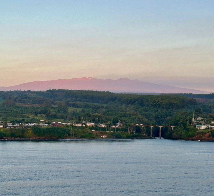
And I spent the next hour or so circling the upper deck of the boat and seeing whales all around us. Of course they always popped up or breached when I wasn’t filming, but it was really cool to see. Also cool was seeing Mauna Kea glowing pink and purple as the rising sun began to shine upon it. Hawai’i really knows how to throw you a welcome party.
The only major downside to this stop on the cruise is that our all-aboard time was 3pm. I’m not sure if it’s a local ordinance and they just don’t want cruisers on the island that late or what, because we were about to be at sea for 5 days, it’s not like we were in any rush. Nevertheless, we knew we would have to book it to see as much of the park as we possibly could. I finally woke up James, we grabbed a quick breakfast, and then we camped out waiting for the all-clear to go ashore.
As soon as we got the go-ahead, we were some of the first people off the boat and hopped in an Uber to the rental car place. It was a quick 45 minute drive up the volcano to the visitor center from there.
Now, I really hate saying anything bad about national parks, but oof Hawai’i Volcanoes had some issues. They’re currently redoing their main visitor center (which is just unfortunate timing with the current eruption bringing in a lot of extra traffic) and the temporary solution is…not the best. There weren’t any real bathrooms at the makeshift visitor center, only port-a-potties by the parking lot. Port-a-potties which did not have sanitizer in them. Gross! We also couldn’t find any water refill stations around (luckily we always bring plenty with us). There were just a lot of things it seemed weren’t particularly well planned out. But okay, enough complaining.
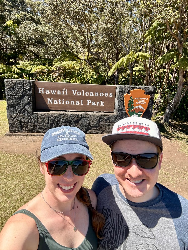
After stopping in the “visitor center” to grab our stamp and stickers, we set out on the Crater Rim Drive to head to our first hike of the day: Kīlauea Iki. We snagged a parking spot at the Kīlauea Iki Trailhead (having heard that the Thurston Lava Tubes lot fills up quickly) and set out.
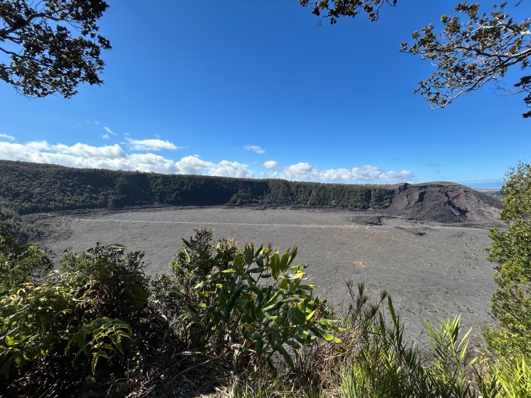
From my understanding, Kīlauea has 3 major eruption sites. The above crater (Kīlauea Iki) last saw an eruption in 1959. That may make you pretty nervous (as I said in my last post, I’m glad I didn’t watch the New Zealand volcano documentary until after this trip), but rest assured, even with 1959 technology, they pretty much knew exactly when it was going to erupt because of monitored earthquakes within the volcano. So we would (most likely) have plenty of warning if it were about to blow again. At which point they would shut down this entire area because, as you can see in the above photo, this hike walks straight through the middle of the crater. Just imagine 65 years ago a lake of lava filling that entire area and spews of lava shooting 1,900 feet (!!) into the air.
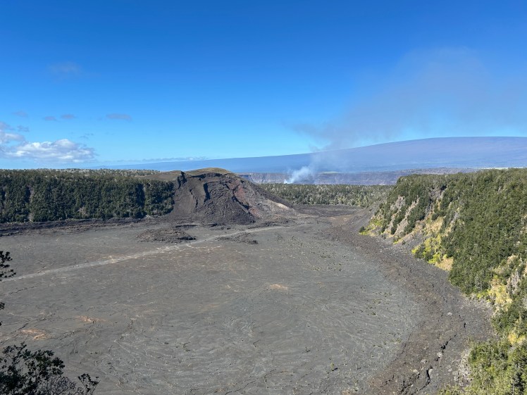
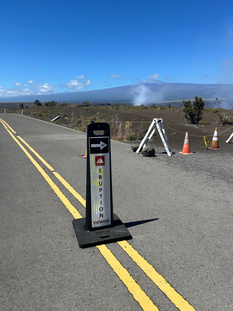
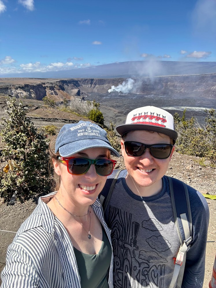
On the other hand, as I hinted at before, there is an active eruption happening at the Kīlauea summit that is still going on today as I write this. You can see steam pouring out of the Halema’uma’u crater of Kīlauea in the photo above where the active eruption is occuring. But more on that later when we get to the eruption viewing site.
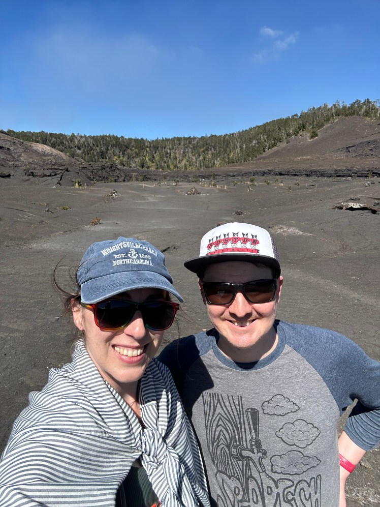
We loved this trail! It was a perfect 3.2 miles and only 300 feet down to crater floor. Definitely do it counter clockwise because then you’re hiking back up in the shade so it was very pleasant the entire way. It also directly connects you to the Thurston Lava Tubes, which are one of the main attractions in the park.
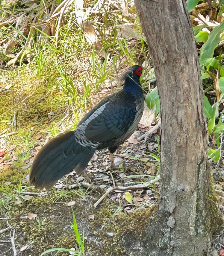
We began by walking through the forest where we saw so many cool birds, including this kalij pheasant.
And then it was time for the main event: making our way down to the crater floor.
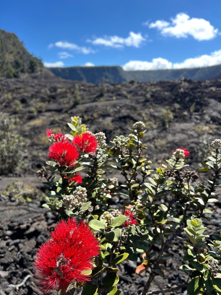
These flowers fascinated me. How did they even begin to grow on top of volcanic rock? They just seemed so out of place, but were absolutely beautiful.
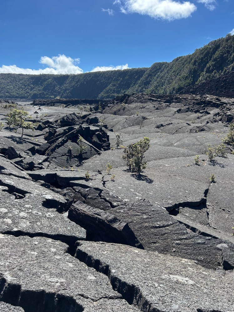
I really liked this walk across the crater. We were just casually strolling over old, hardened lava that has expanded and cracked and shaken over the last 65 years. It’s pretty crazy to think about what might have been happening far beneath our very feet.
It was definitely hot and exposed during this part of the hike, but it passed quickly and we were very grateful for the shade on the other side as we began our ascent back up to the main road.
But first, a stop at the Thurston Lava Tubes.
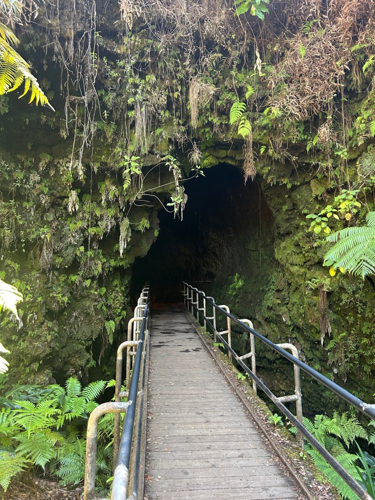
Lava tubes are formed underground by flowing lava. They’re the pathways used to travel below the surface of the volcano and once the lava subsides, it leaves behind these tube-like caves. The entire island is full of these caves far beneath our feet, but these ones along the trail are close enough to the surface that we were able to go in an explore.
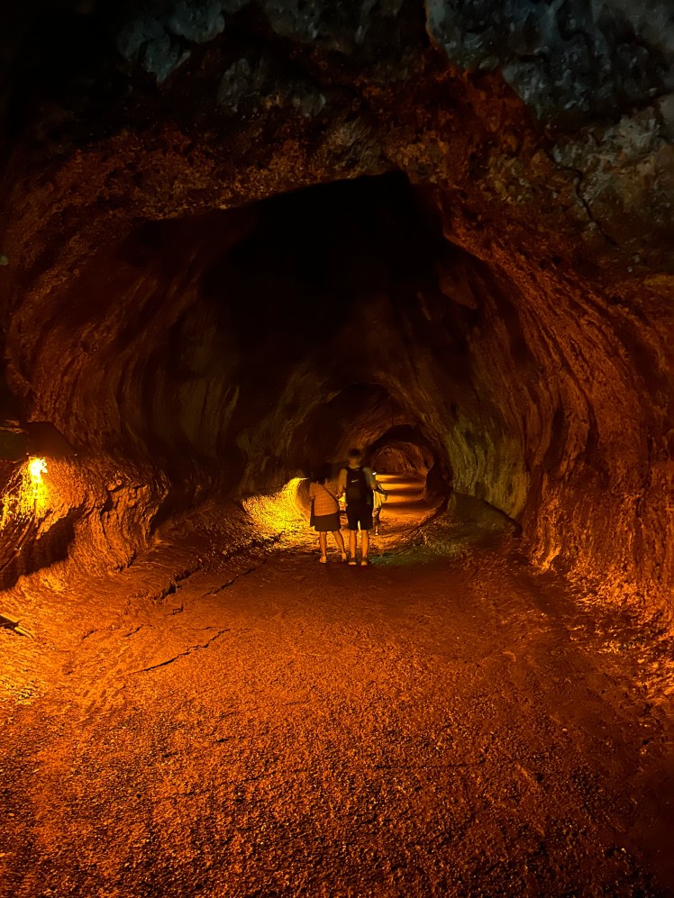
It was very damp and cool inside and if there weren’t manmade lights installed, it would be pitch dark. It was big enough that you couldn’t see the other side when you entered. Very cool! And hard to believe that in the not-so-distant past there was 2,000 degree lava flowing through this very spot.
Now. From here, we had a big decision to make. I really wanted to be able to see as much of the park as possible, which included going down Chain of Craters Road to the sea arch and seeing some petroglyphs, but it was already noon and we were hyper aware of the boat’s all-aboard time. As I said, we were about to head out on 5 straight days at sea so if we missed the boat here, we were screwed. Ultimately, we decided to instead go to the Devastation Trailhead and get an up-close look at the ongoing eruption, even though we knew there were no active lava spurts on this day.
The trail begins at the closed section of the Crater Rim Dr. where you can still follow it on foot for about a mile before you get to the part completely destroyed in 2018. Unfortunately, you couldn’t get particularly close to the damaged section, I would have loved to see what the lava flow over the road looks like.
One last history lesson! The last eruption site, and the most destructive one in recent memory, is Pu’u’ō’ō. Pu’u’ō’ō crater is located roughly 10 miles east of the summit of Kīlauea and isn’t accessible today. The volcano had been erupting from this crater since 1983 with minimal impact to the surrounding area when something interesting happened in 2008: the volcano started erupting from the summit crater at the same time. This was not common, but continued until 2018 when all hell broke loose. I highly recommend watching the park video at the link below, I personally find it fascinating:
https://www.nps.gov/media/video/embed.htm?id=245E6049-A1EA-4559-AFD1-6185EAEE3FC6
But if you don’t have time (or care), basically, in mid-March 2018 scientists started noticing increased pressure underneath Pu’u’ō’ō and the crater floor began to rise before completely collapsing a few weeks later. Magma began flowing beneath the surface of the island toward more residential areas and throughout May 2018, over 20 fissures opened up in these residential areas and lava started pouring out. It flowed through neighborhoods and ultimately reached the ocean. When all was said and done, over 700 homes were destroyed and the lava created 875 acres of new land in the ocean.
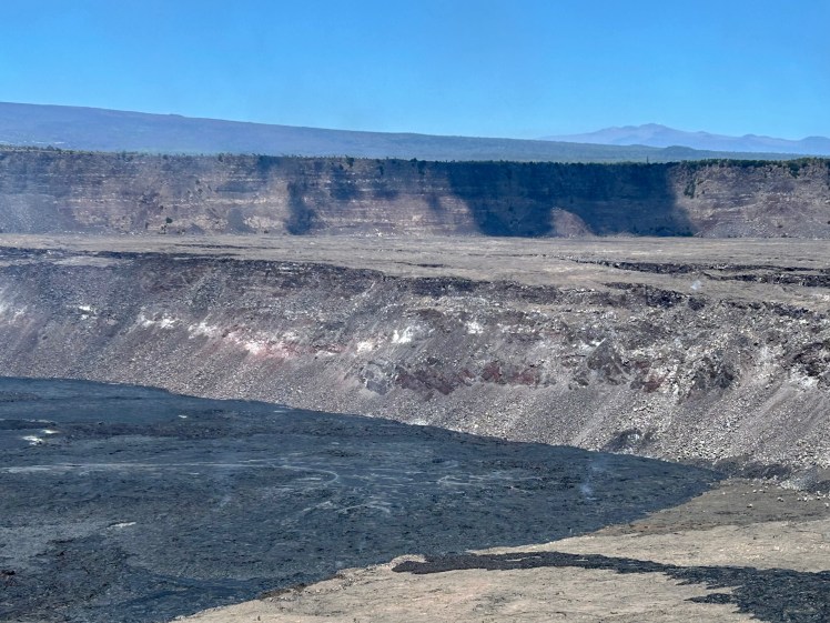
Meanwhile, the loss of all this magma was starting to impact the crater up at the summit (pictured below). It looked a hell of a lot different in early 2018. As the magma burst from the fissures and poured out further down the island, the summit crater began to experience massive collapse events which would shoot giant plumes of ash into the air. Throughout the summer, there were over 60,000 earthquakes at the summit and the crater went from 280 feet deep to 1,600 feet deep and the diameter more than doubled. If you watch the video, toward the end you’ll see where the park road got completely destroyed. Crater Rim Drive used to go around the entire crater, but this event saw it collapse into the crater or get completely covered in lava in some areas, closing the back half of the loop road for good.
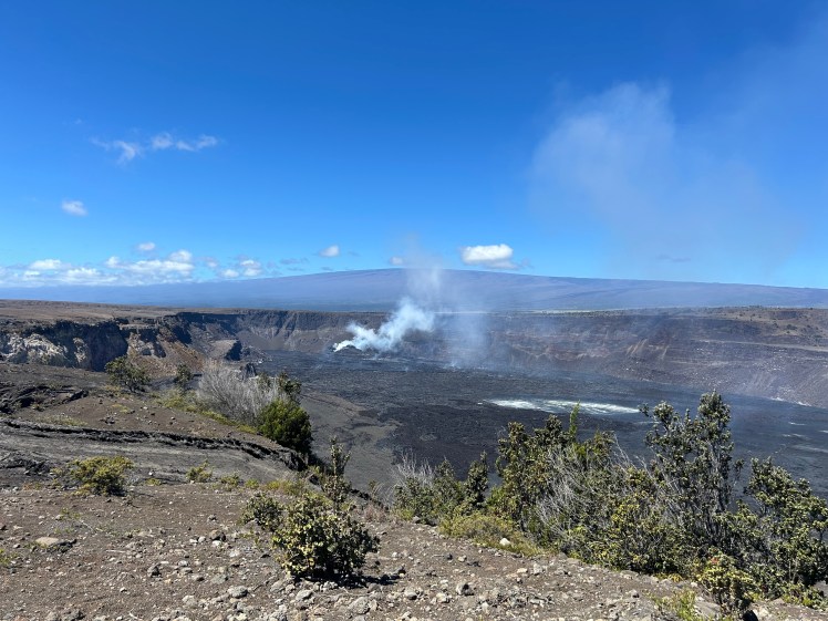
Kīlauea wasn’t done yet, though, and she continues to erupt to this very day. There have been at least five more eruptions since that 2018 event which have filled in the summit crater with lava and brought it back up to the shallower crater we see today. In the below photo you can see the different levels of the crater and how each eruption has added new layers of hardened lava, including the darker “active” lava at the bottom of the crater that was steaming and even releasing some small spurts of lava the day we were there (but you could only really see it with binoculars).
This most recent eruption began on December 23, 2024, literally the day I booked this cruise. This eruption has had 16 different “episodes” as of the time I post this, including one that ended just 26 hours before we got to the island. I’ll always wonder if we had stayed atop Haleakalā past sunrise that night if we could have seen the lava spurts happening over on the Big Island. I mean, look at this thing:
How cool would it have been to see this?? But hey, that’s life.
It was still fascinating to see an active volcano doing it’s thing and I’m really glad we went! But we’ll definitely be back. I was very bummed to only have time to see such a small part of the park when we had traveled 5,000 miles to be there, but that’s okay.
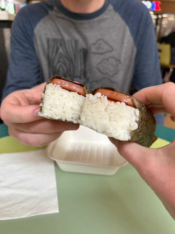
We had some time to spare as we got back to town and decided to use it wisely, stopping to get some spam musubi. When in Rome!
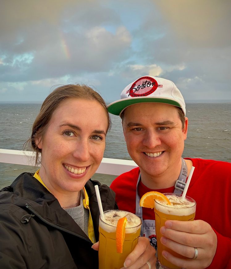
And that’s all on our Hawai’i national park adventures! The rest of the cruise FLEW by and, ironically, we didn’t end up seeing a rainbow until the night we were pulling into the strait between British Columbia and Washington state. But we had mai tais in our hands at the time so it was still perfect!
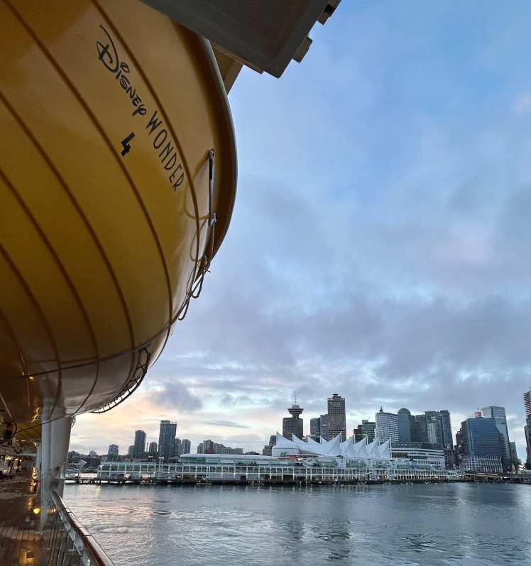
The next morning I was up bright and early yet again as we pulled into Vancouver and had to say goodbye to the Disney Wonder once more. I know cruises aren’t for everyone, but I absolutely love them and am very excited to get back to it post-pandemic. We’ve got a few in the early planning stages with some friends and family, but I think our next big adventure will be a one-way Alaska cruise in the next few years where I’m hoping to cross off the six most easily-accessible national parks up there.
But as for now, we actually are heading to a new national park next weekend: The Gateway Arch in St. Louis. I know…not very exciting, but technically a national park! BU just made the Frozen Four for the third year in a row so now our nice chill friend trip to St. Louis for a Cardinals game, Budweiser tour, and the Gateway Arch will now also be super stressful and (probably) heartbreaking. I can’t wait!
See you next time.
