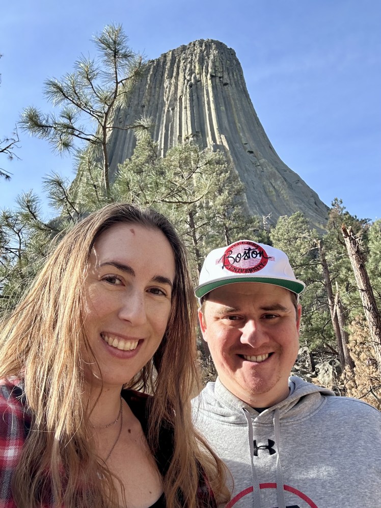
Before making the trek across state lines into North Dakota, we had two quick stops to make first. First, was Devil’s Tower National Monument in Wyoming.
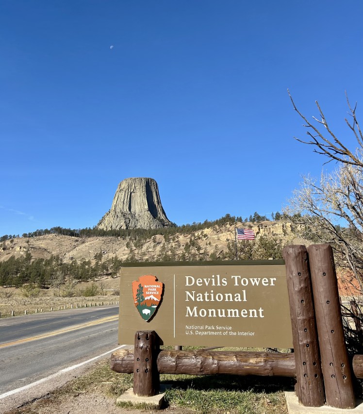
James and I had been to the Western part of Wyoming on our trip to Yellowstone and the Grand Tetons over seven years ago, but I’d always wanted an excuse to go back and see this monument. I didn’t realize how close it was to the Dakota border until I started planning this trip and immediately knew we needed to add it to the itinerary. Luckily, my friends were all on board!
Each Native American tribe seems to have a different story for how this tower was formed, but the basic idea is that two young kids ran away from their village and started getting chased by a giant bear-like monster. They prayed to God to save them and so the rock began to rise beneath them, bringing them out of reach. The bear/monster started scratching at the rocks to try to get to them, thus the deep grooves in the side of the tower.
In reality, it’s likely that the structure formed by a magma intrusion tens of millions of years ago and erosion took care of the rest. I like the Lakota and Sioux versions better.
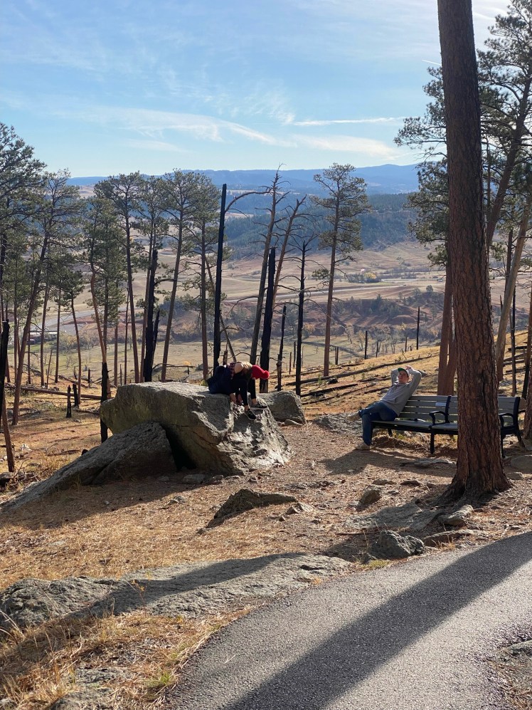
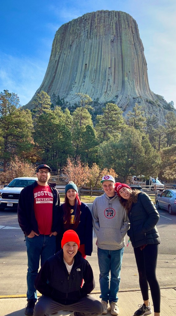
Remember when I was getting worried that the altitude was going to get to me on this trip? Well, the above picture is proof that it finally happened. I didn’t even realize we were still about a mile above sea level, but I started feeling a little off on the drive over. And as soon as we started making the really easy hike around the base of the tower, my body started shutting down. I got super exhausted and immediately drenched in sweat. I was burning up but my skin was freezing because it was cold and the sweat was evaporating. I laid on this rock for a few minutes, downed some water, and tried to rally. I knew we were immediately about to drop about 2,000 feet after this stop and would stay in a safe zone the rest of the week so I just had to power through the next half an hour.
We made it the rest of the way around and I ate a bunch of dried mangos to revive myself. And off we went to our second stop of the morning: the Geographic Center of the Nation. The center of the continental US is in Lebanon, Kansas, but once Alaska and Hawaii were added as states, the actual geographic center is now just 20 miles north of Belle Fourche, South Dakota. The actual spot is on private land, but since this town is within the margin of error they decided to erect the monument here.
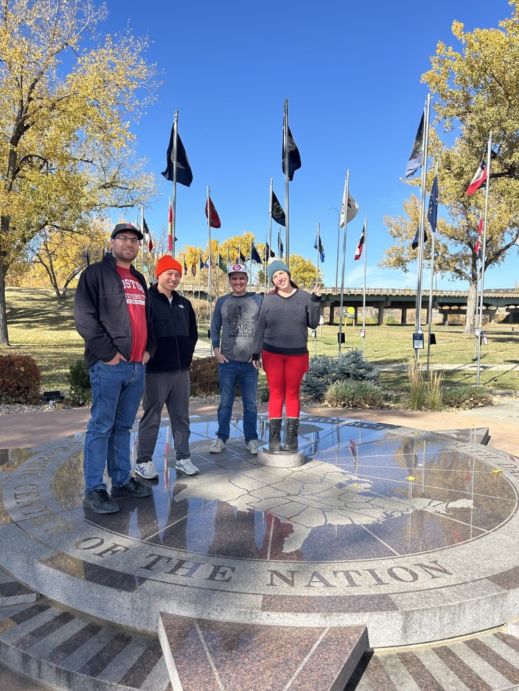
It wasn’t much to look at, but it was already on our way, so we couldn’t not stop at something kitschy and weird.
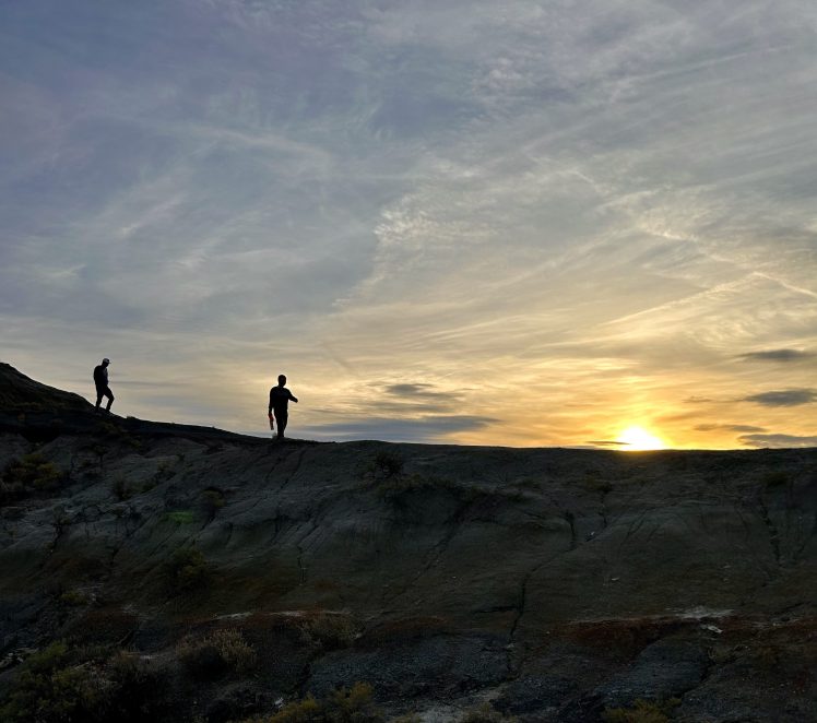
Speaking of kitschy and weird, we were also driving by the tallest point in North Dakota, so of course we had to make one last stop before getting to Theodore Roosevelt National Park.
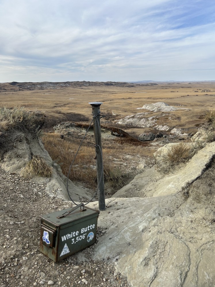
It was an easy 1.7 mile hike with just 300 feet of elevation gain. It was a nice little stroll to stretch our legs on the long, boring stretch of road between South and North Dakota.
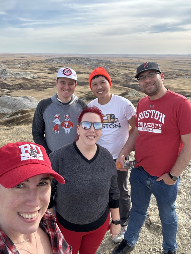
And you know I always try to get to as many state high points as possible. I’m currently at 10 and will probably knock off New York and New Hampshire this summer, there’s no reason we haven’t done those already.
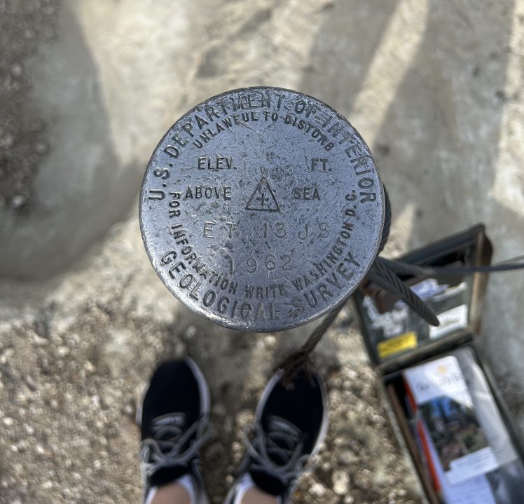
I didn’t have to go hunting for the geographical marker at this one. AND there was a manifest to check-in. Not as scenic as South Dakota, but I was happy.
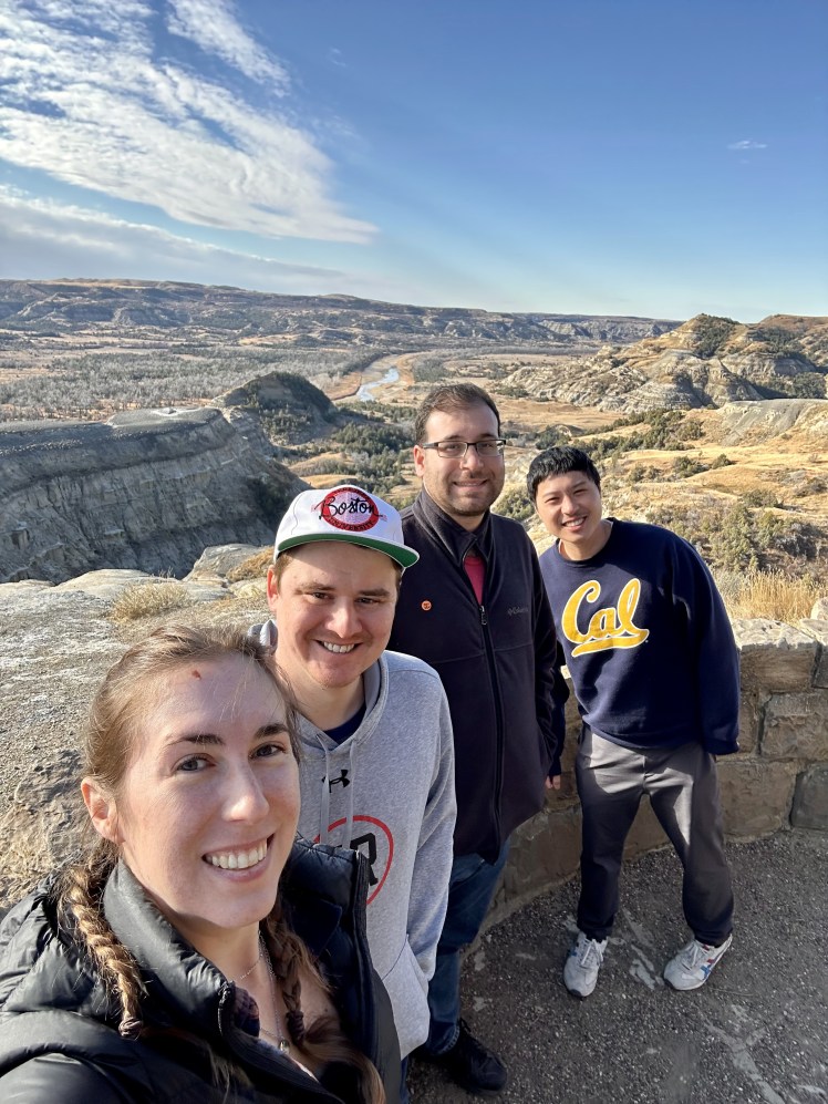
Finally, it was time for us to explore what we really came to Western North Dakota for: Theodore Roosevelt National Park.
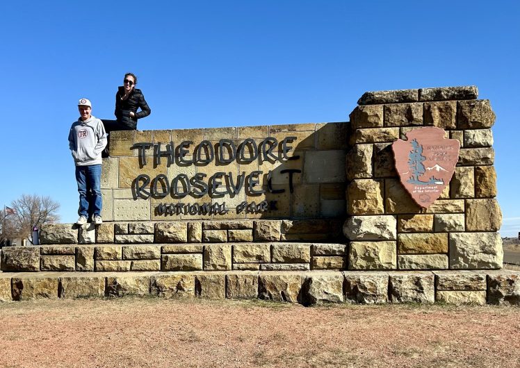
Teddy Roosevelt is split into two different units: the North and the South. We began our adventures in the North.
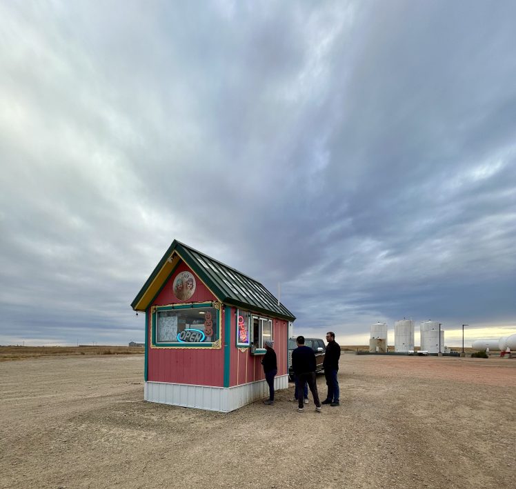
But first we stopped at the most adorable little coffee shop with delicious breakfast burritos in the middle of a gas station parking lot. It was excellent. We then made the 51 mile drive up to the North Unit.
We did the Scenic Drive from start to finish, pulling over at the interesting stops along the way.
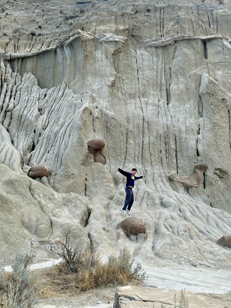
Including a stop at the “cannonballs” for Mangel to jump on.
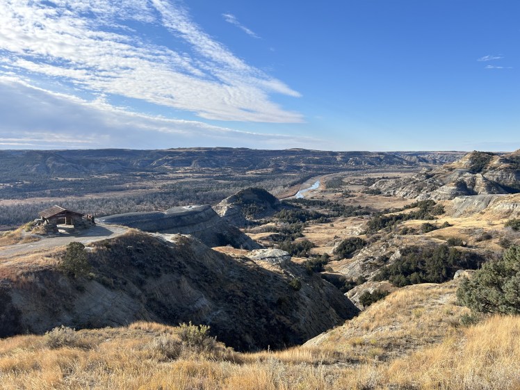
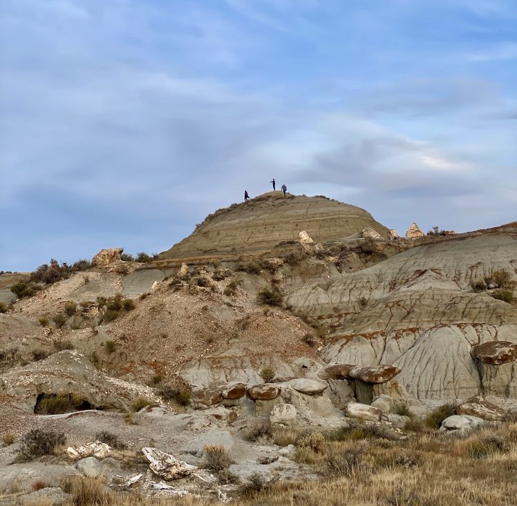
I had read a lot about the Caprock Coulee Loop trail and it was repeatedly mentioned as the best hike to do in the North Unit. As we arrived to the trailhead, though, I realized how much we truly needed to pack into this single day in the park. (Plus, we were all pretty tired after a jam-packed four days in South Dakota.) Things were going to need to be cut. I decided Caprock Coulee would be first to go. We still went to the River Bend Overlook, one of its trailheads, to take in the views.
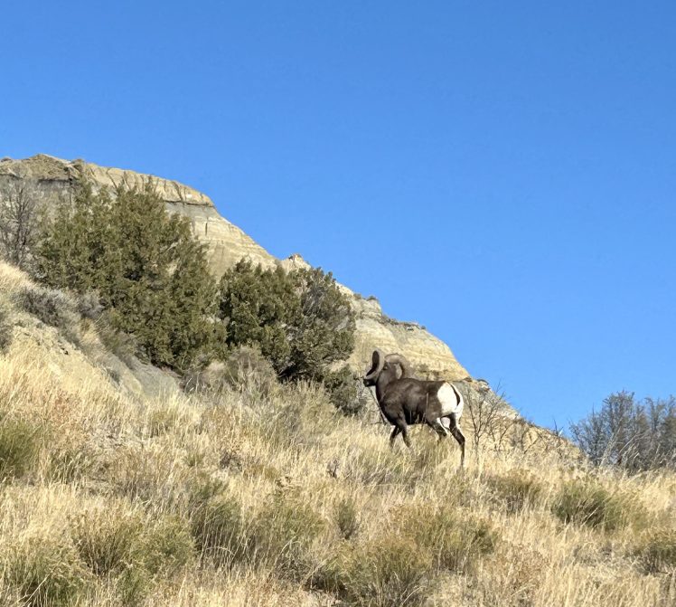
And I’m still glad we went into this side of the park, if only just because we saw this cool big-horned sheep sprint out in front of our car on the way back out of the unit.
But then it was time to get to the real highlight of the trip: the South Unit and all the wildlife we expected to see there. We made a quick stop at the Painted Canyon Visitor Center, but were pretty underwhelmed with the view.
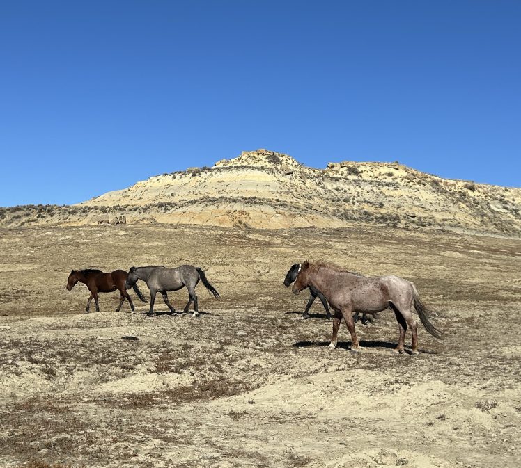
We moved on to the Scenic Loop Drive portion of the park and IMMEDIATELY started seeing wildlife. There were wild horses everywhere.
And then we came around a bend in the road and I had to slam on the brakes. We’d hit a gold mine. A North Dakota traffic jam:
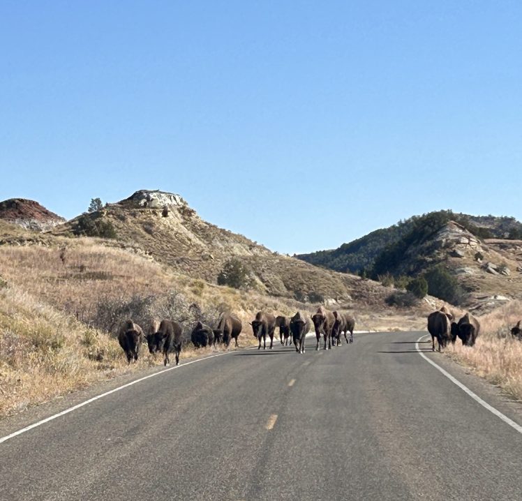
I threw the rental car into park and we just enjoyed the show for a solid 5-10 minutes. The only other car we saw was a park ranger that eventually drove through.
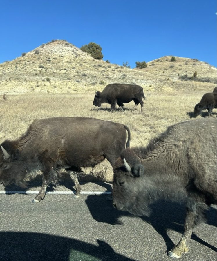
It was so cool to be able to safely see this magnificent animals so close up. And, of course, I saw it as a good omen for the Buffalo Bills. Hah. We all know how that worked out.

Would you mess with this guy? We certainly weren’t going to.
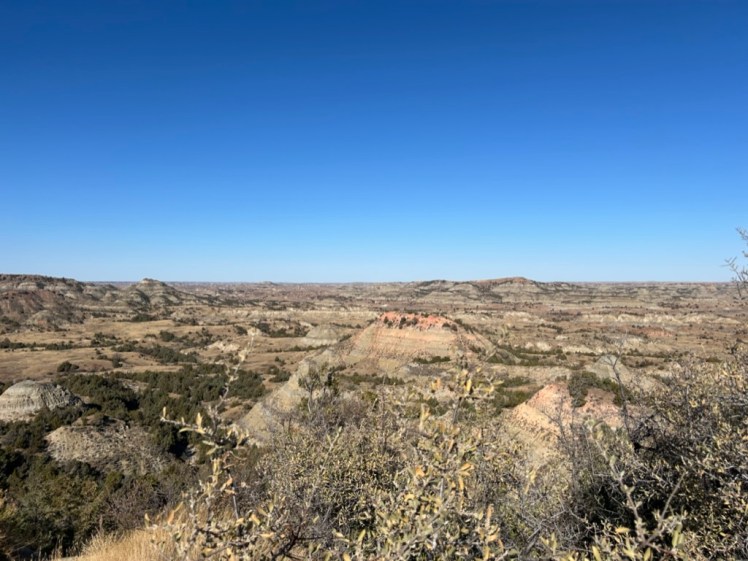
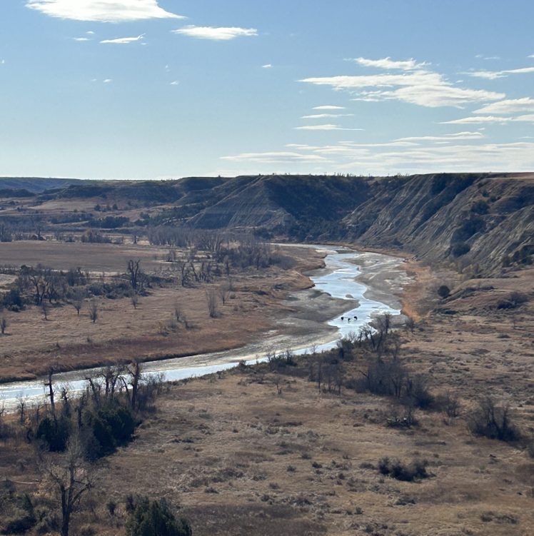
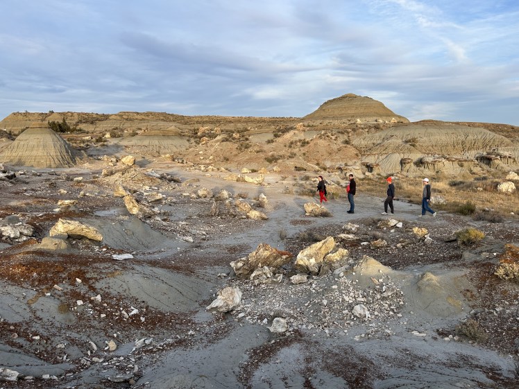
We finally moved on to the rest of the scenic drive. Unfortunately, they’re doing construction on the last six miles of the loop road so you can’t actually drive it in a complete circle right now. Instead, we made the most of the 22 miles that were open, starting at the Wind Canyon Trail.
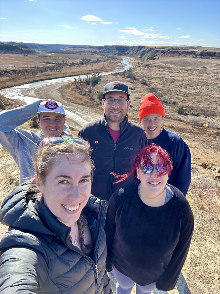
And it was indeed windy! I really liked this short trail, though, and the views were amazing! It felt like you could see forever, including these three buffalo way out in the distance hanging out in the Little Missouri River.
I had heard good things about the Big Plateau and Ekblom Trail Loop trail, but knew it involved crossing the Little Missouri River to get to it. With how cold it was, and our lack of hiking poles, I didn’t know if we would be able to accomplish this. I figured we would see what it looked like and decide on the spot. I was pretty surprised when everyone was willing to give it a go!
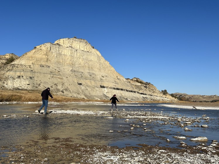
James and I took the easy way out and took our shoes off to cross the river (I had my towel with me, but the water was still freezing!), whereas Canada and Jay powered through and balanced on the strategically placed rocks in their full shoes. Everyone made it!
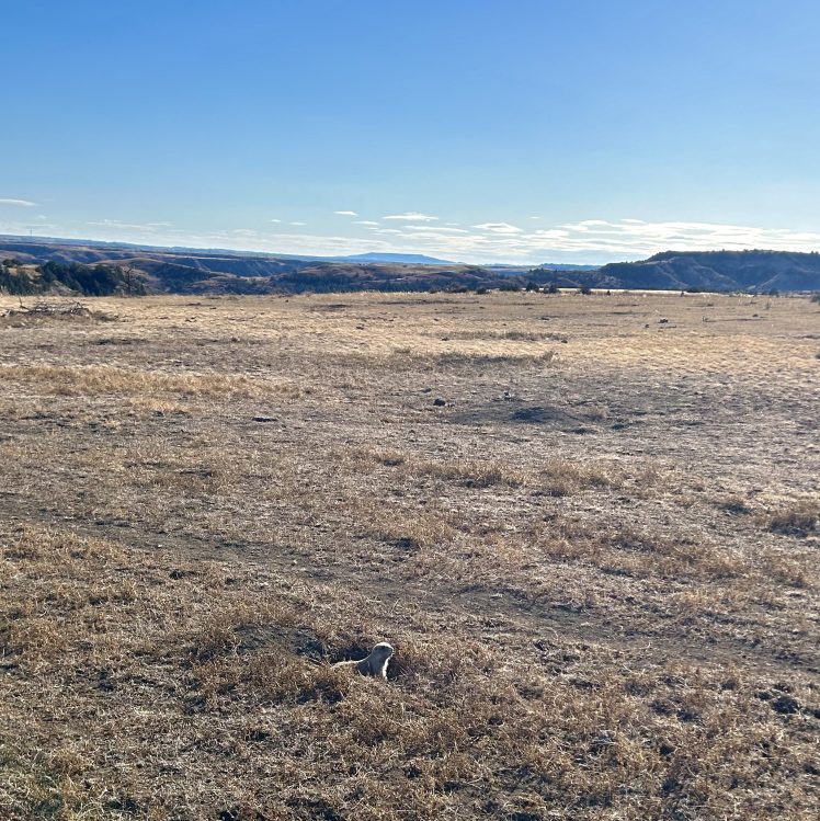
A lot of reviews on AllTrails mentioned plentiful wildlife viewing on this hike, but we really didn’t see anything except hundreds and hundreds of prairie dogs. And some antelope way off in the distance.
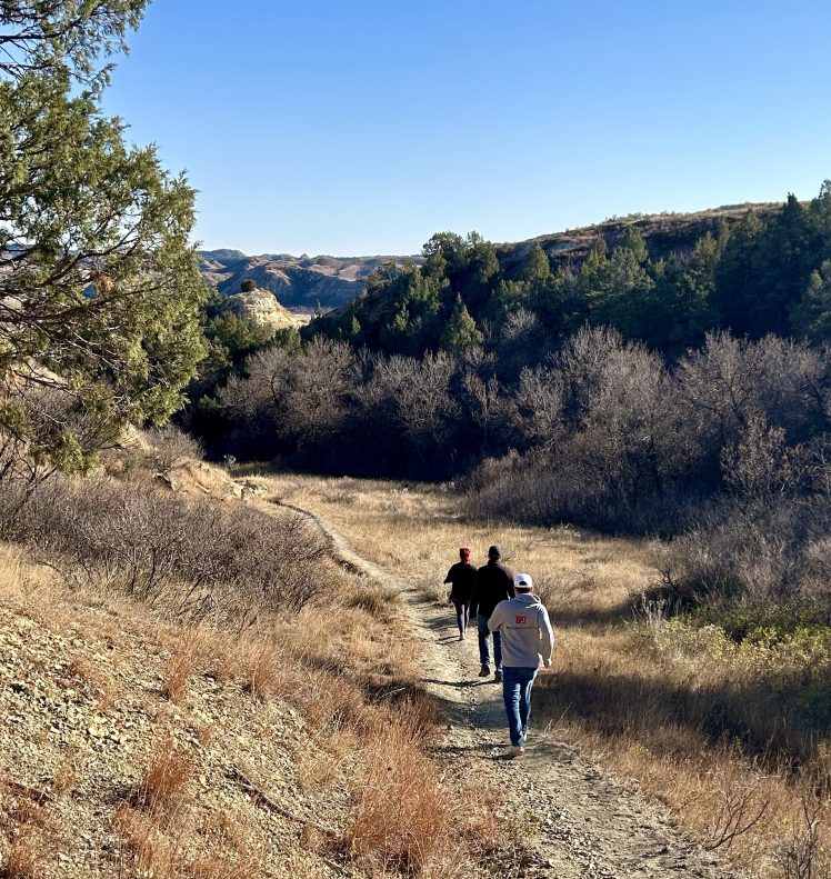
Even without the wildlife, I really liked this trail. Once you get up onto the plateau, it’s just a really long, flat path leading to distant mountains. We debated doing the entire loop, but we were cognizant of time and eventually just decided to turn around and head back the way we came. Who knows if we missed out on some cool wildlife on the far side?
It was really windy again, but at least James got to have some fun with tumbleweeds!
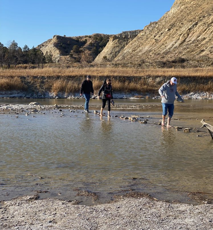
We made it back across the river (Jay’s feet didn’t stay quite as dry this time) and had one last stop to make in the park: the Petrified Forest.
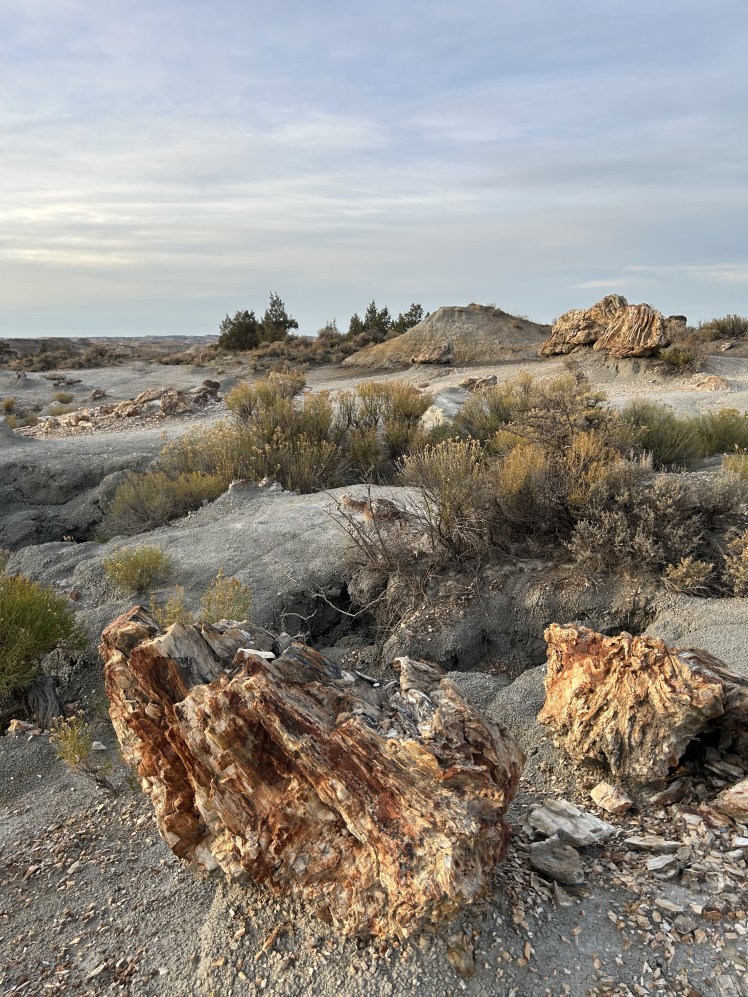
This was one of the sections of the park I most feared we wouldn’t have time to do. It’s a ways away from the main scenic drive and involves some unpaved and poorly-marked roads. And the trail itself is over 10 miles long if you do the whole thing.
But I did a lot of research ahead of time and knew we’d only need to go out on the North arm of the trail to see some interesting stuff, and I’m so glad we did!
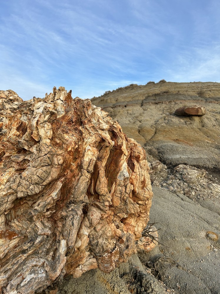
You need to hike about 1.5 miles on the Northern section of the trail to reach some really cool, and really giant, hunks of petrified wood!

I feel like pictures don’t do it justice.

And when you get to this part of the trail, it truly feels like another planet. And there are so. many. rocks. to climb and play on!
I set an alarm on my phone so we’d know what time we absolutely needed to start heading back before the sun went down. Especially since we knew there was a buffalo hanging out at the top of ridge that we didn’t want to encounter in the dark.
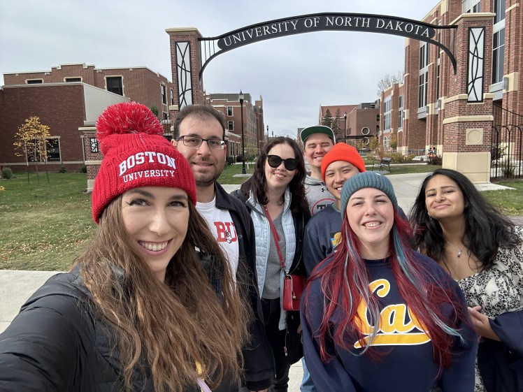
So we climbed and explored as long as we could and got ready to say our goodbyes to our national park adventures in the Dakotas. It was time to get to the “real reason” we had come to this part of the country and make our way over to Grand Forks for some college hockey.
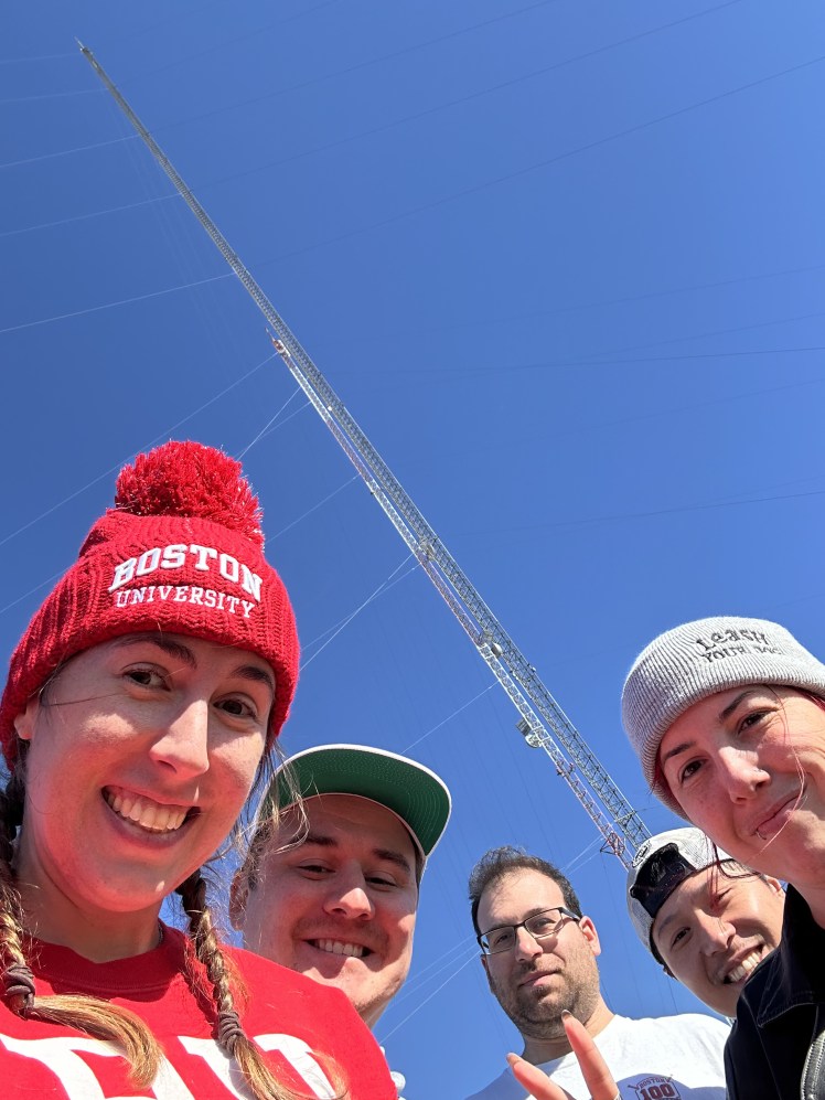
But first! We decided to make a stop at the KVLY-TV antenna. This antenna was erected in 1963 and was the tallest structure in the world until a Warsaw radio tower surpassed it in the mid-70s. That tower collapsed in 1990, though, making the KVLY-TV tower the tallest structure in the world again until the construction of the Burj Khalifa in 2008. It remained the highest structure in the Western Hemisphere until 2019 when part of the top antenna was removed, making the neighboring KRDK-TV mast the new tallest structure by just 3.3 feet.
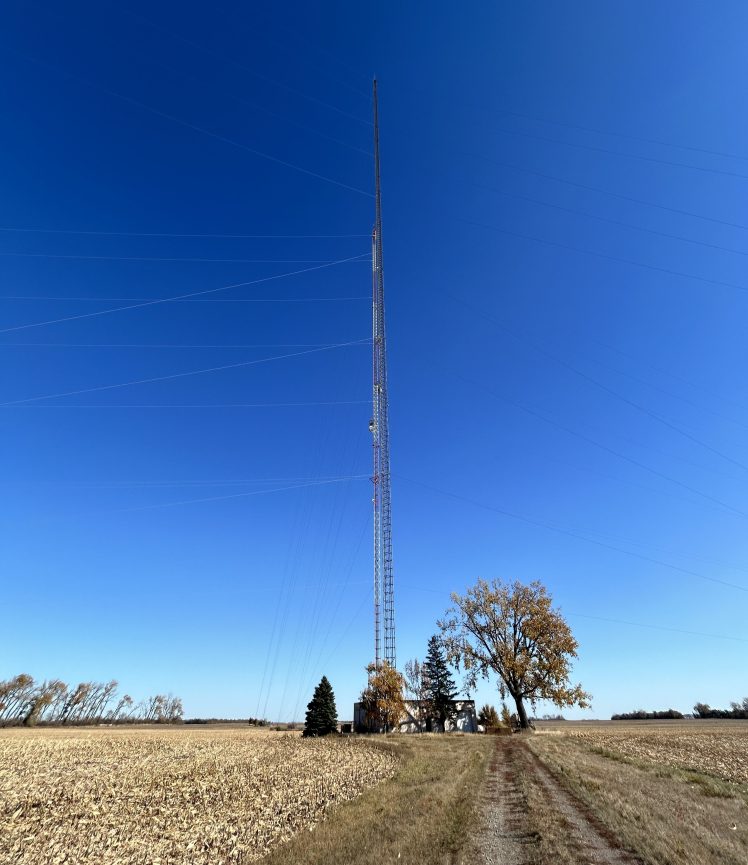
I’d first become interested in these towers when the movie Fall came out. (Pro tip: do NOT watch that movie while on a plane. Bad idea.) I looked into into the tower they climb in the film and found out it was a fictionalized version of this giant radio tower out in the middle of nowhere North Dakota. James decided to look it up and we realized that we would be driving right by it on our upcoming Dakotas trip and decided we would make the stop.
We started seeing these towers in the distance about 20 miles out and it was really hard to wrap our minds around how tall they are. Even when we were like 100 feet away, I was kind of thinking ‘meh’. But as soon as we got right up to the base, it finally sunk in. This was tall! 2,000 feet tall. It’s impossible to capture on camera, but it was really cool in person and I’m glad we stopped.
From there, it was finally time to make our way to Grand Forks and meet up with the rest of our friends who were crazy enough to fly all the way out to North Dakota for a couple of hockey games, but not crazy enough to make an entire week out of it.
BU ended up splitting the weekend and we had a blast at the games! And seeing the insanely cool Ralph Engelstad Arena.

I love these humans and this team, which has given us a reason to travel all around this country (and sometimes overseas) to explore new parks, landmarks, and kitschy roadside attractions.
And that’s a wrap on our latest national parks trip! Rumor has it I booked a very spontaneous and last minute trip to somewhere really amazing that also happens to have two national parks, and we leave in a couple of weeks!
So be on the lookout for those pictures and stories soon as we close in on being 50% of the way through this national park adventure!
Until next time!
