Long Trail Miles: 11.8
10.8.20
30s and partly sunny
Battell Shelter
I woke up to below freezing temperatures and had some convincing to do to get myself out of my sleeping bag. But it was my last full day, I had to make the best of it! I packed everything up as quickly as possible and shoved a pop tart in my mouth.
Unfortunately, my socks and shoes were still pretty wet. I figured this would happen, but it still sucked. Again, I cannot stress this enough: BRING THREE PAIRS OF SOCKS! I was so mad at myself. I had a dry pair of socks I could have worn, but I needed something dry to sleep in that night. I also knew that with all the rain the day before, the trail was probably going to be really muddy and my feet would just get wet again right away. In the future, I think I would use waterproof hiking boots once temps get below 40˚. Because this was not fun.
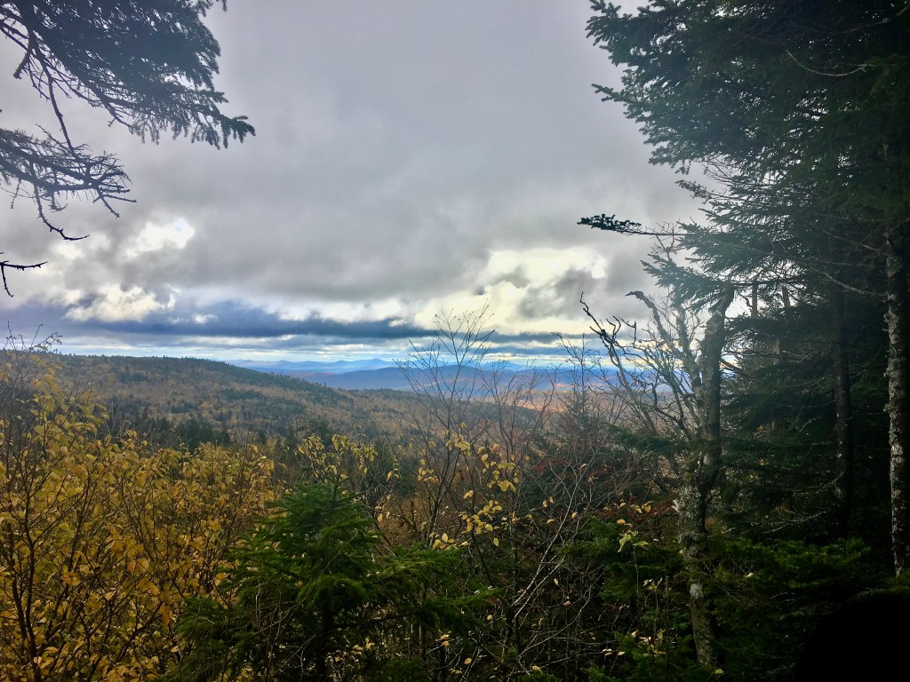
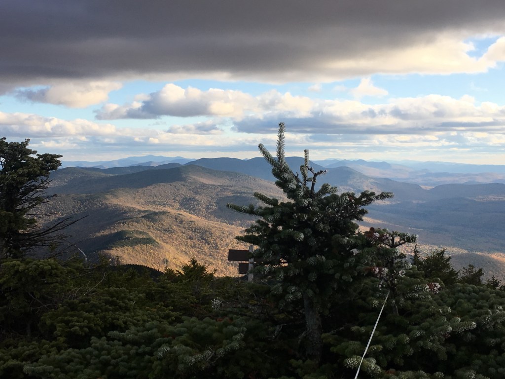
The beginning of the hike was a quick climb up to Molly Stark’s Balcony. The views were alright, but the clouds were still pretty low and menacing.
From there I dropped down to Appalachian Gap and crossed route 17. I imagine there are really nice views from the road when it’s clear out, but I couldn’t see much. It was also SO WINDY in the gap once I lost tree coverage. The trail was also a little confusing here. I could see on the app which direction up the road I had to go, but there was a false trail that I followed for a few minutes before realizing something seemed wrong. I went back to the road and, sure enough, the real trail was another dozen yards up the road. This delay meant that a group of young hikers who started at the gap jumped in right in front of me. It was moderately annoying because I was hiking at about their speed so I didn’t want to pass them in case they had to pass me right back. But also I felt like I was slowing myself down to keep some distance between us.
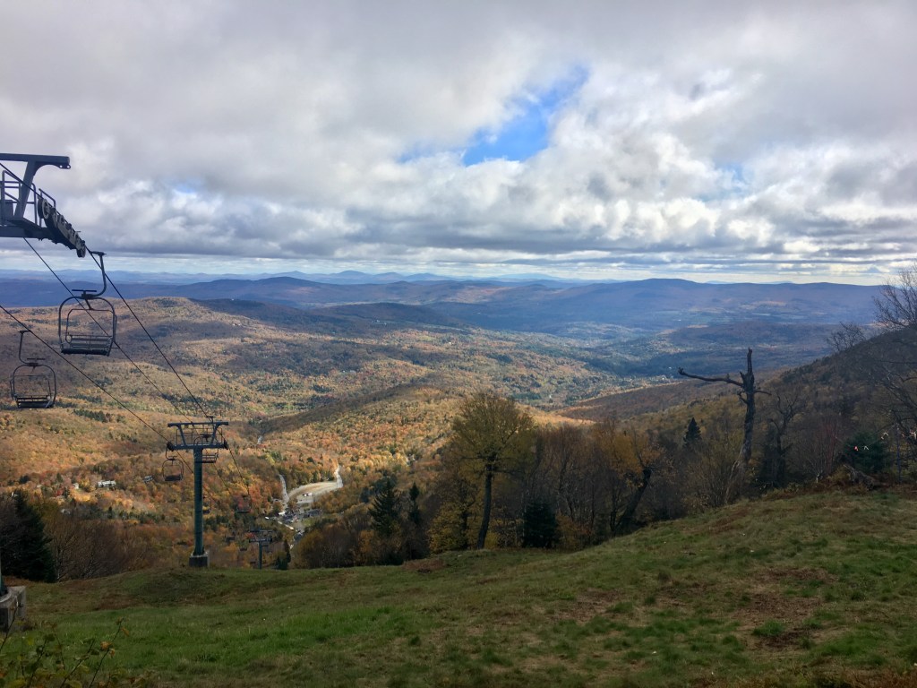
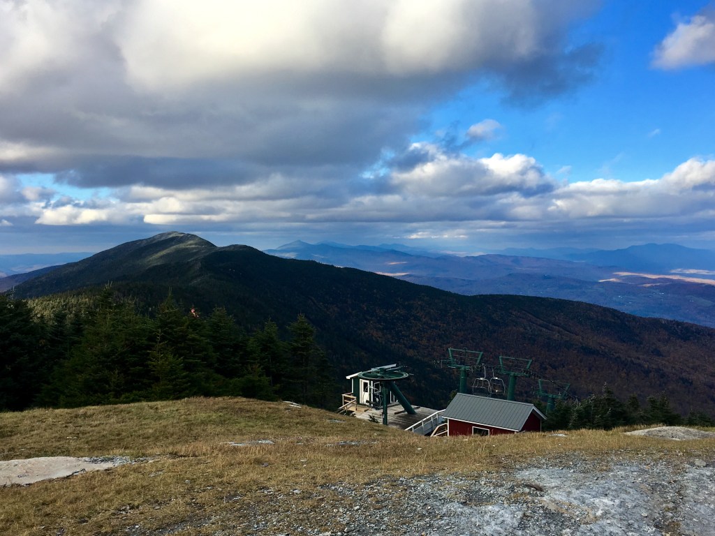
Luckily, they were only going to the ski lifts (no idea why), so after stopping at the top of the Mad River Glen Ski Resort to get a few pictures, I was on my own again.

And the sun was trying so hard to come out! As long as I was moving, though, I was plenty warm. I was pretty surprised that my soaking wet feet never got too cold. The temperature never got above 35˚ all day. There’s no logical reason as to why they weren’t frozen.
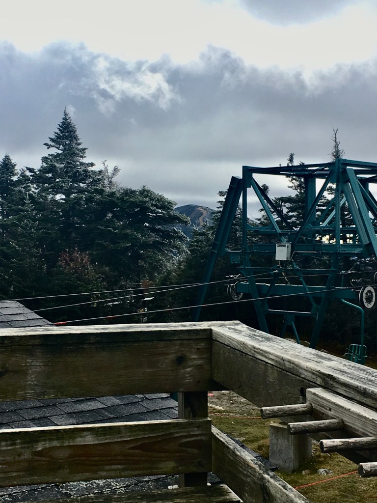
Then, the real climbing began. It was 1,000 feet to the top of Mount Ellen, another 4,000 footer and my first actual mountain of the day. About halfway up I came to Stark’s Nest, a Mad River Glen Ski Hut that they leave open for hikers. It was a good, warm (read: enclosed) place to rest for a bit and eat lunch.
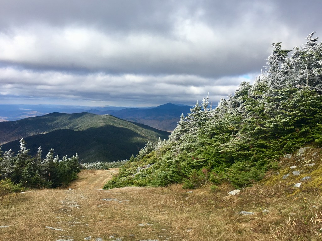
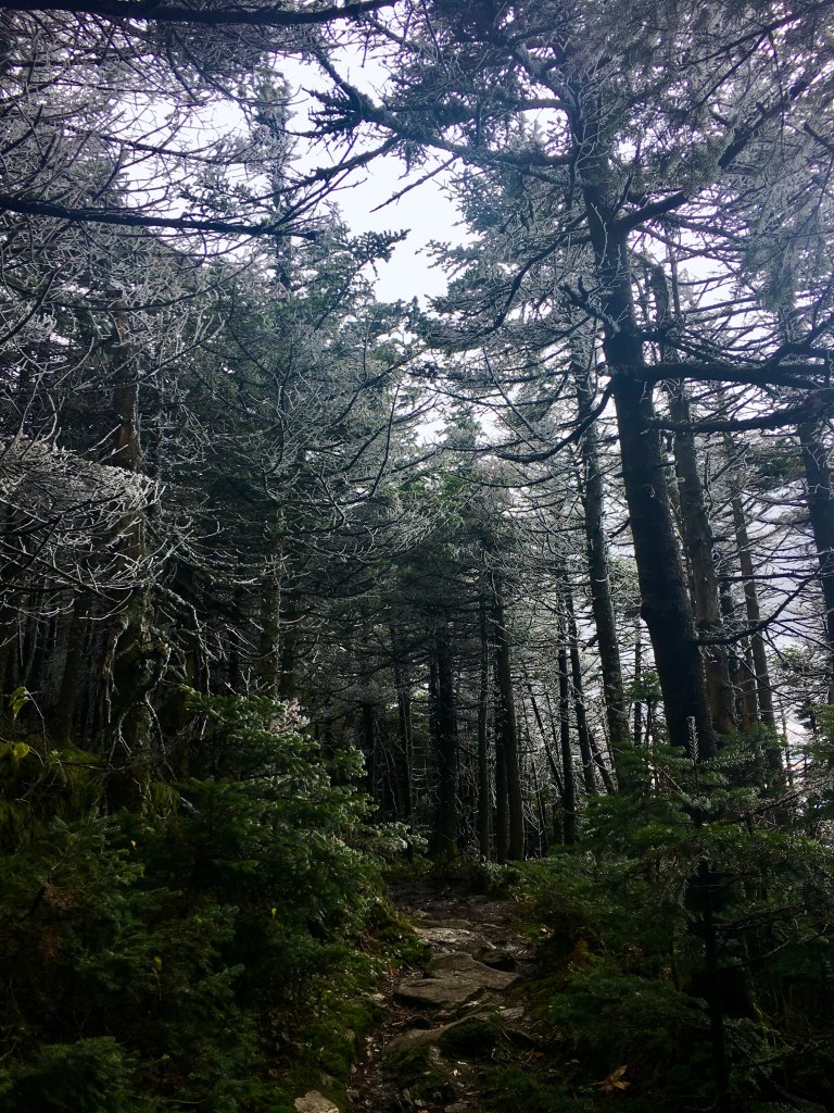
You can see above where the rain had frozen on the trees. It made everything way more beautiful! But it was definitely cold and windy. I would be above 3,600 feet for the rest of the day until camp.
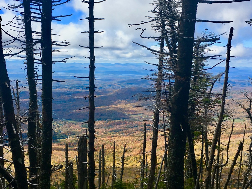
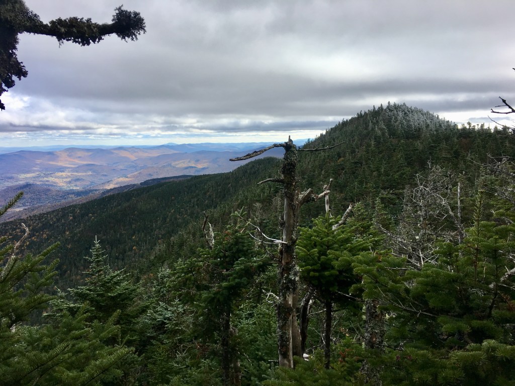
And all that freezing cold wind was blowing in from these guys, the Adirondacks. I couldn’t believe how clearly you could see them. One of the benefits of cold, crisp air. Any time the trail was exposed to the west, the wind really picked up and it got way colder. Luckily, breaks in the trees like the one above were few and far between.
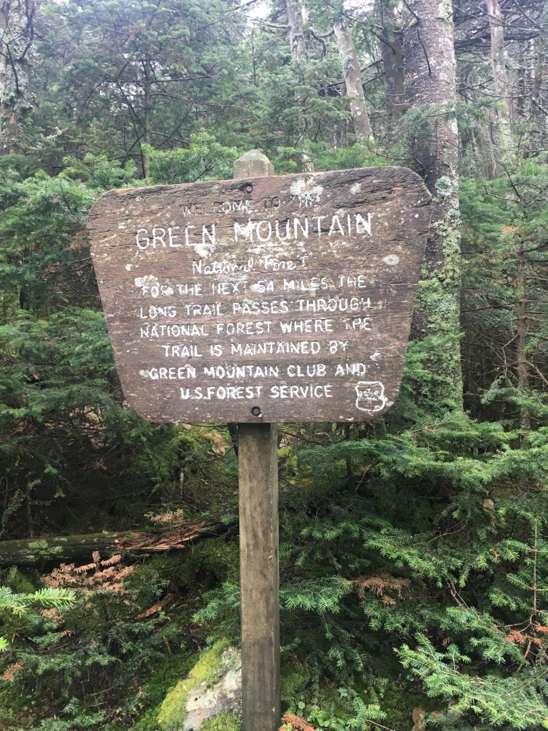
As I neared the summit of Mount Ellen, I officially crossed into Green Mountain National Forest.
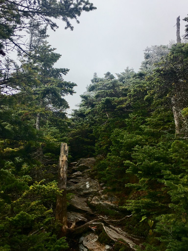
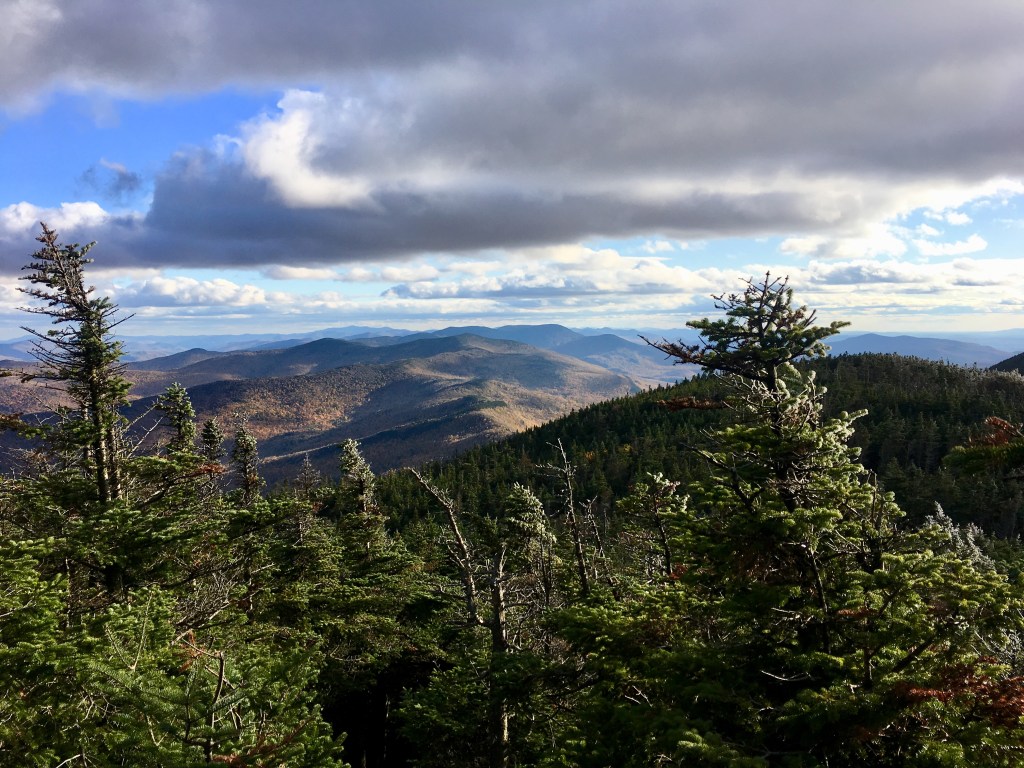
Most of the hike looked like this. A boring green tunnel. Fine by me, it meant I was protected from the wind. I put in the Phantom of the Opera soundtrack and powered on through. And it made the times that I came to viewpoints like the one below all the more special.
The wind really picked up here again, being so exposed.
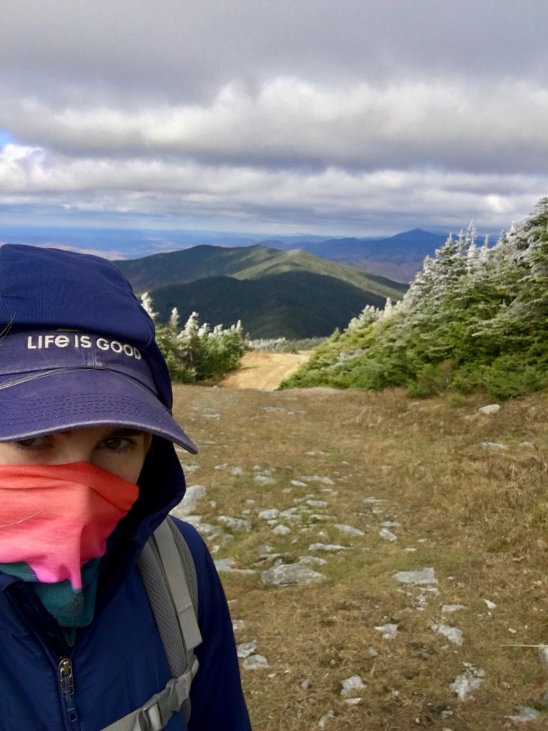
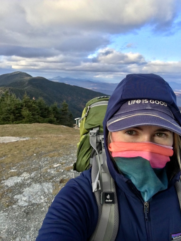
I hadn’t seen another soul in over an hour. The gaiter was simply to keep my face warm. Perks of winter hiking during a pandemic!
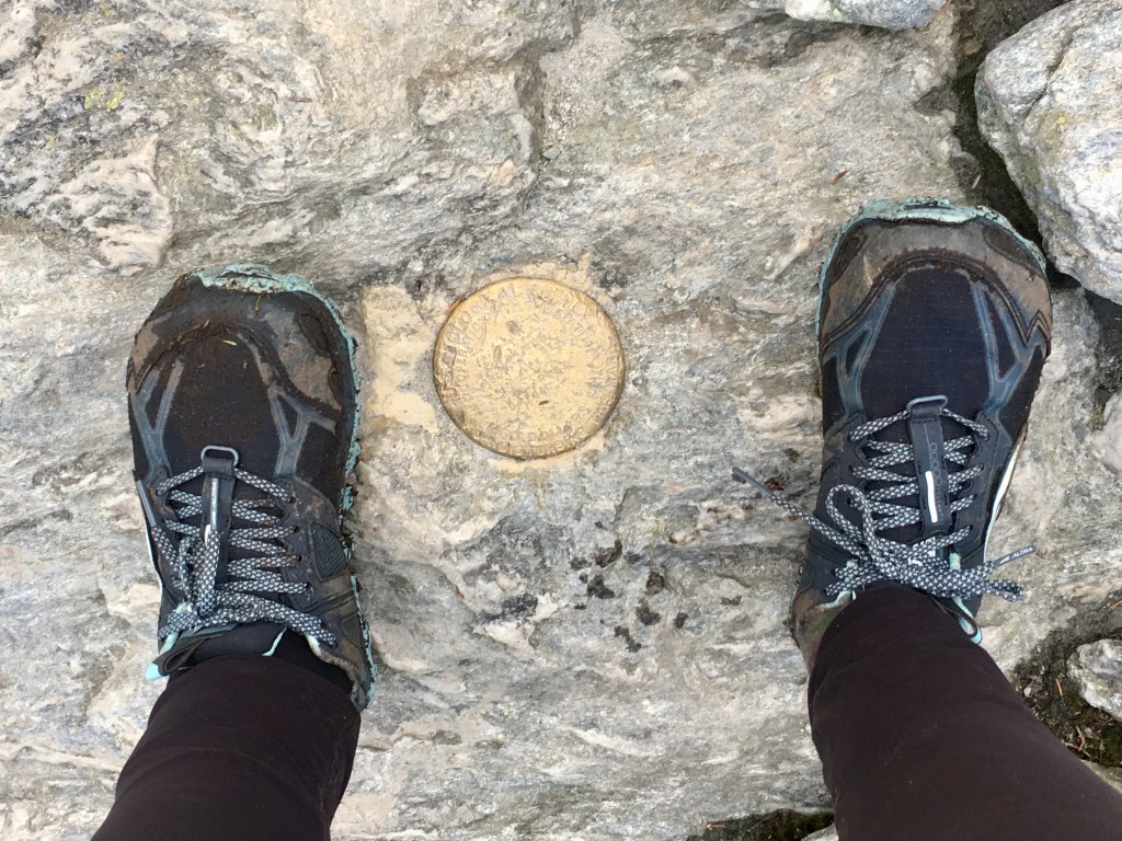
The actual summit of Mount Ellen looked something like this:
I looked desperately for a summit sign or any sort of marker, but it was just all woods. Sorry, mom, I tried. (Her name is Ellyn.)
The next 3.5 miles would see 3 different mountain peaks ending at Mt Abraham, another 4,000 footer.
There wasn’t a lot of downhills between peaks, so it was relatively easy hiking. Just long and cold. And my legs started hurting more and more.
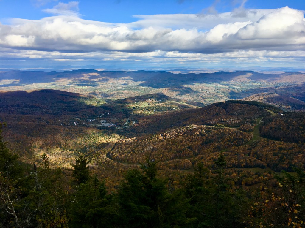
I feel like I haven’t had a view of an actual town that wasn’t just a ski resort in over a week.

Around 4:30pm I came to my last shelter of the day (before the one I was actually going to stay at.)
Castle Rock Chairlift was just another ski hut. I stopped in to grab some snacks, wrap up my throbbing ankle, and take some painkillers (!!! I know. That’s how bad it had gotten.) And bonus! I met another solo female hiker there! Her name was Hailey. She was heading NOBO and had settled in to stay the night here because of the cold. She began hiking by herself, but had met several people along the way that she had hiked with for a time. But all of them had recently stepped off the trail due to various reasons so she was on her own from here on out. She was also in a decent amount of leg pain (and heading into the most difficult part of the trail) so I really hope she made it! One of us needed to!
After a nice talk with Hailey and some food, I decided to make the last push over Mt. Abraham and to the shelter for the night. It was difficult to give up this warm, protected shelter and friendly company, but I needed to get closer to my pick-up spot tomorrow morning. Hailey warned me that when she was on top of Abraham there was a bachelor party full of bros shotgunning beers and being rowdy. I said a little prayer that they wouldn’t still be there by the time I got there. Being two miles away still, I was pretty optimistic.
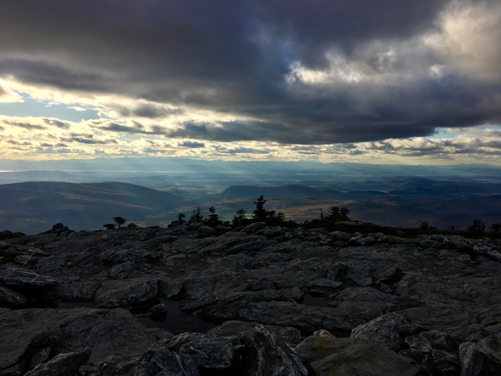
The rest of the hike was really beautiful as the sun began to go down.
And by the time I did make it to the summit of Mt. Abraham, not only were the bros gone, I had the entire 360˚ view peak all to myself!
This was another top moment of the trip. The views were amazing in every direction and there wasn’t another soul in sight. I took my time hanging out at the top (until the cold wind forced me down) and then I took my time with the descent. It was truly perfect.
(I later found out that there’s an abandoned crashed plane just north of the summit. I was pretty bummed that I didn’t know or see it, but just more reason to go back! Also apparently the pilot hiked down the mountain after the crash. I bet his legs didn’t hurt as bad as mine though.)

As beautiful as it was, my legs were getting progressively worse. I think even if I hadn’t decided to get off the trail tomorrow, I would need to take several rest days. Taking breaks helps. I’m usually pretty good for about half an hour when I first start hiking, but then the pain sets in and doesn’t let up.
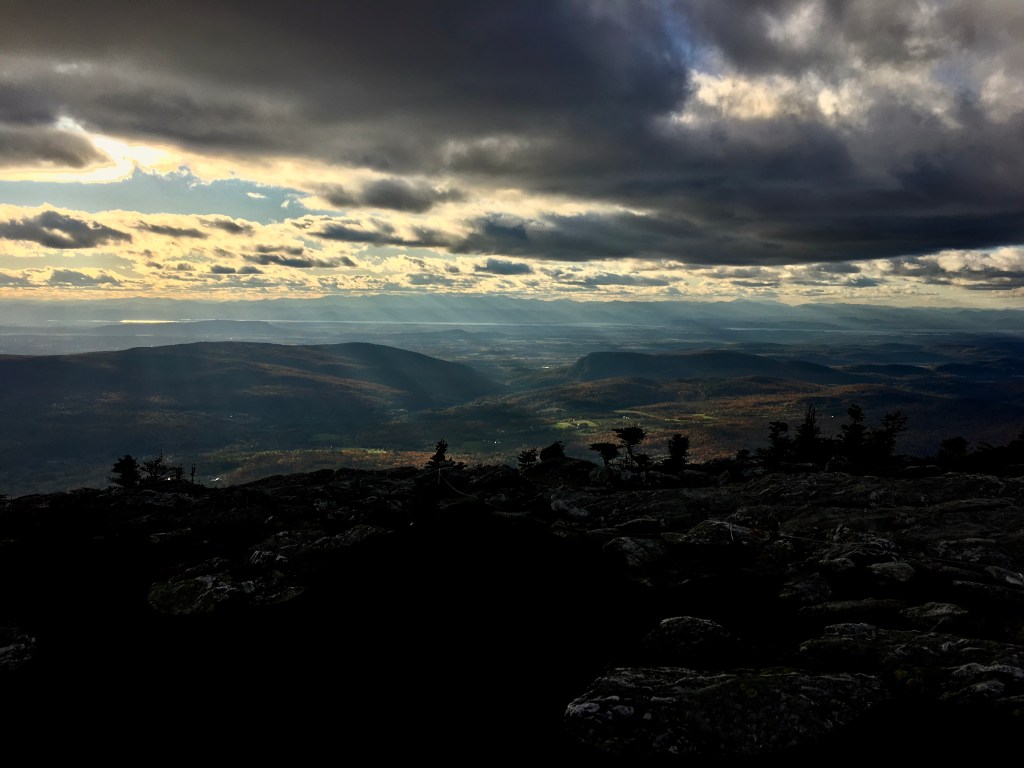
I would have taken a million more pictures from the summit and the scramble down, but my phone died from the freezing temps. The initial scramble was really steep and very fun. I imagine it’s much more difficult to summit going NOBO. The views got even more beautiful and dramatic as I and the sun descended.
My dead phone also meant that I had to hike to camp “blind.” I could’ve plugged it in if I wanted, but it wasn’t worth the hassle. It was probably for the best so I couldn’t obsessively stalk how much further I had to go. But my legs were in a lot of pain because the descent was pretty steep and it felt like I was never going to get there.
But of course I did. I had already decided to pitch my tent because I knew it would be an unenclosed shelter and I wanted to be warmer. I was the only one there when I arrived. There was a caretaker tent and I thought I saw movement, but no one ever came out or asked me to pay a fee. The site was nice. The water source was a little brown, but I wasn’t cooking anyway so I didn’t really need it. There was also a bear box, which is always nice. Another group did show up after I was already in my sleeping bag. I was too cold to do much of anything so I just ate basically all the ready-to-eat food I had left. I probably should’ve eaten more throughout the day, but I’m sure I’ll more than make up for it over the next couple of days.
Some closing thoughts from my journal on this last official day of the hike:
“Today shouldn’t have been a good day. It was below freezing all day. I was in wet socks and shoes the entire time. And I thought I’d be anxious to just be done. But I so enjoyed it! The views were stunning all day and I was warm as long as I kept moving. Ending the day (and my hike FOR NOW) on top of a 4,000 footer that I had to myself as the sun set was too perfect for me to put into words or capture on camera. I’m excited for Killington this weekend, but then I’m more than ready to go home.”

Quite a trek! Any idea who Stark is/was? I was intrigued by the names Molly Stark’s Balcony and Stark’s Nest.
LikeLike
I can’t believe you were the only one on the trails! Cool experience
LikeLike