Long Trail Miles: 15.8
10.1.20
55˚ and sunny
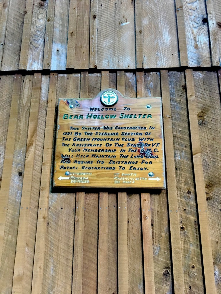
Bear Hollow Shelter
My favorite day of hiking so far! It was relatively easy, the weather was perfect, and the views were beautiful! My ankle was still bothersome on the downhills though. I’ll try switching to trail runners and see if that helps.
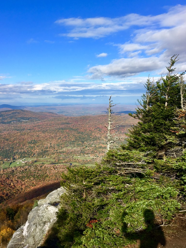
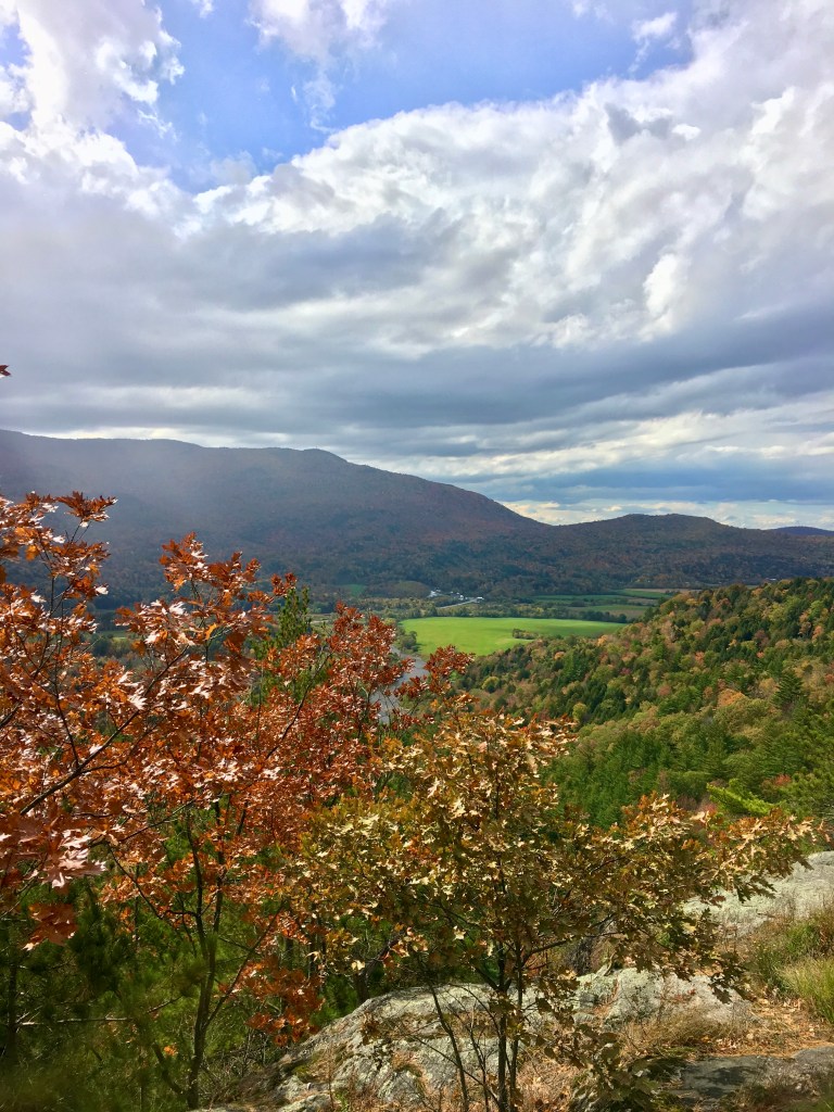
It was a pretty easy morning as I made my way up Laraway Mountain. I felt like the only person in the world, it was so quiet and peaceful. The trees thinned out near the top (although there was no view at the actual summit) and there were a ton of ravens cawing and swooping over the mountain. It was a little eerie to be honest. As I came back down the other side of Laraway I was rewarded with the best view of the entire trip at Laraway Lookout.
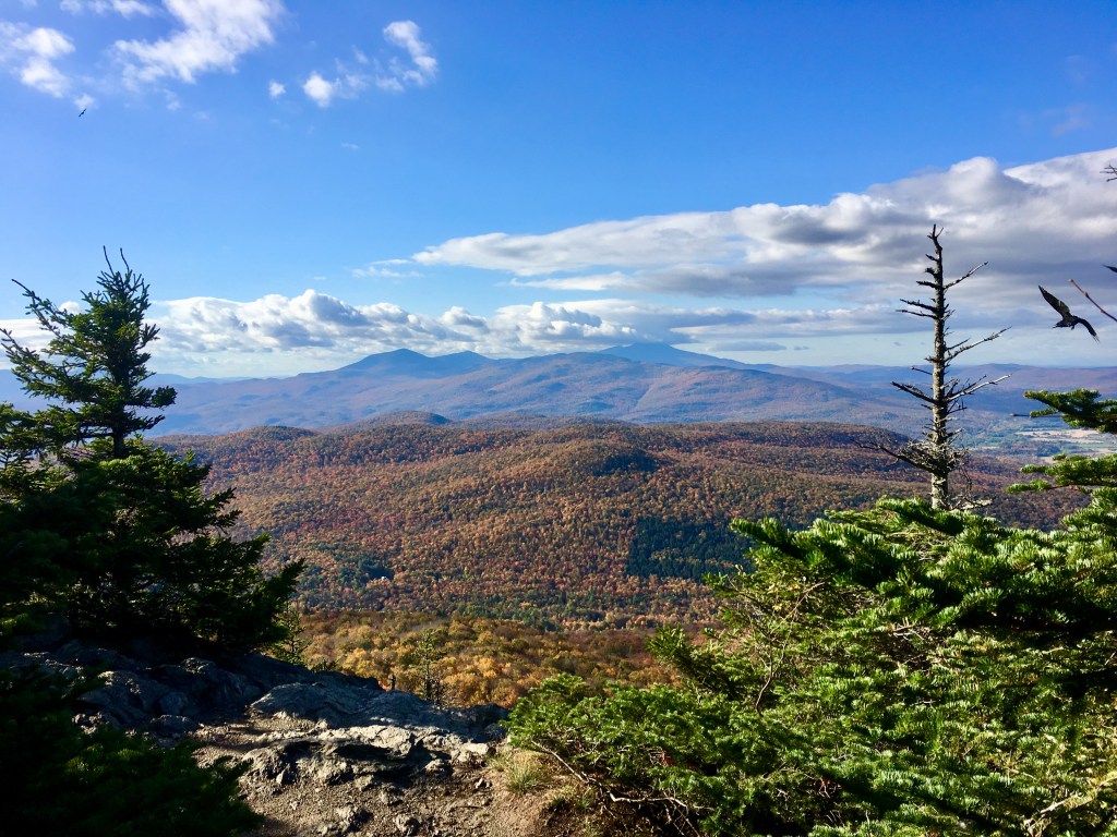
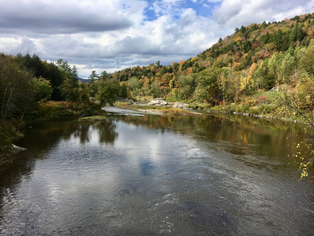
It was the first perfect view of Mansfield that I had (the one all the way in the back to the right). There is still always a cloud covering the summit. I wonder if I’ll have any view at all by the time I get there in a few days.
You can tell in the above picture how easy the terrain looks between where I am and Whiteface Mountain (the one without cloud covering to the left of Mansfield). Probably why I enjoyed this day of hiking so much. Again, it blows my mind how far away things look. Whiteface is only 15 miles away and I’ll be there tomorrow. Mansfield behind it is just a little over 25 miles away. It’s amazing how far and fast our feet can take us.
I had to give a little shadow flex. I should’ve been able to see over to Lake Champlain and the Adirondacks, but it was still a little hazy in the distance.
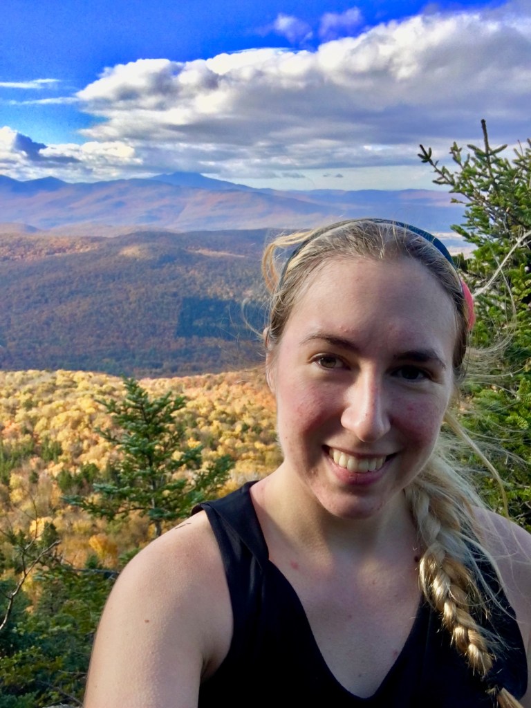
I hung out for a little bit here to FaceTime my mom and show her the view before moving on.
The hike back down from Laraway was just as cool as the views. With all the recent rain, water was beautifully dripping off the large rock walls.
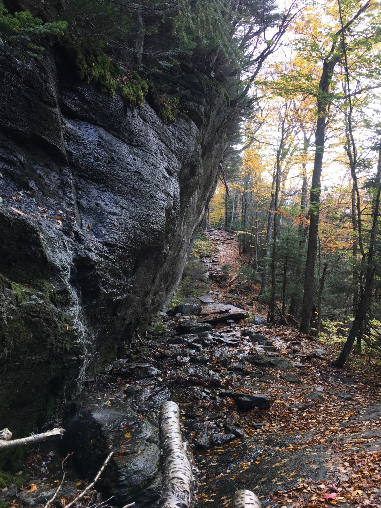
It was hard to capture in a photo, so I also took a video to show the dripping cascade of water. It was so peaceful.
On I continued, all the way down the mountain and into the town of Johnson (two days later than I had planned to arrive).
It was really the most perfect day.
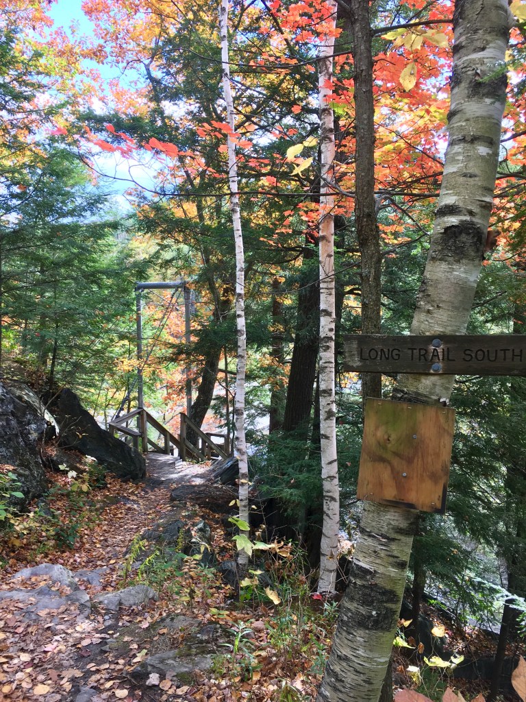
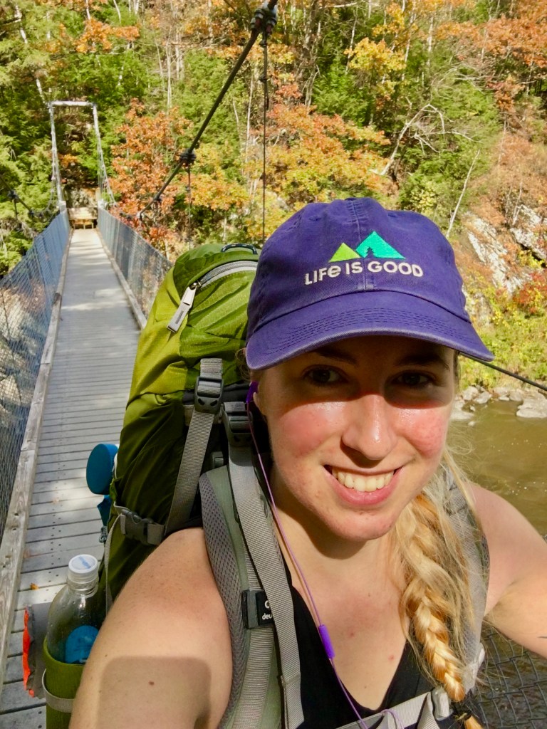
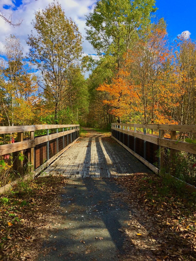
As I came down into Johnson, it was the lowest elevation I’d been at since starting the trip. I also came to my first foot bridge.
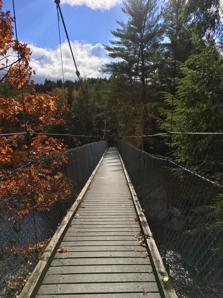
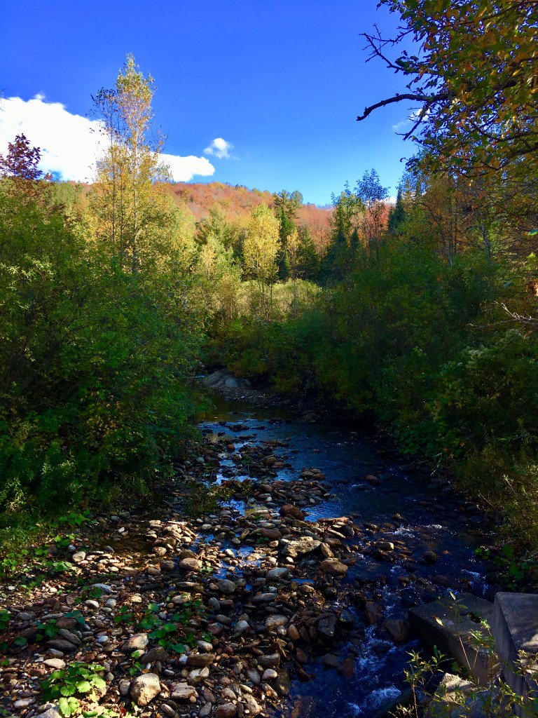
And crossed over the Lamoille River.
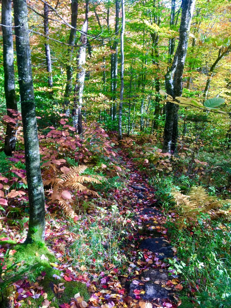
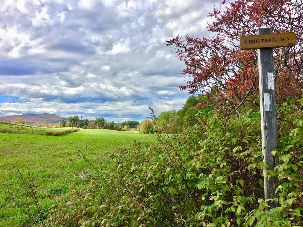
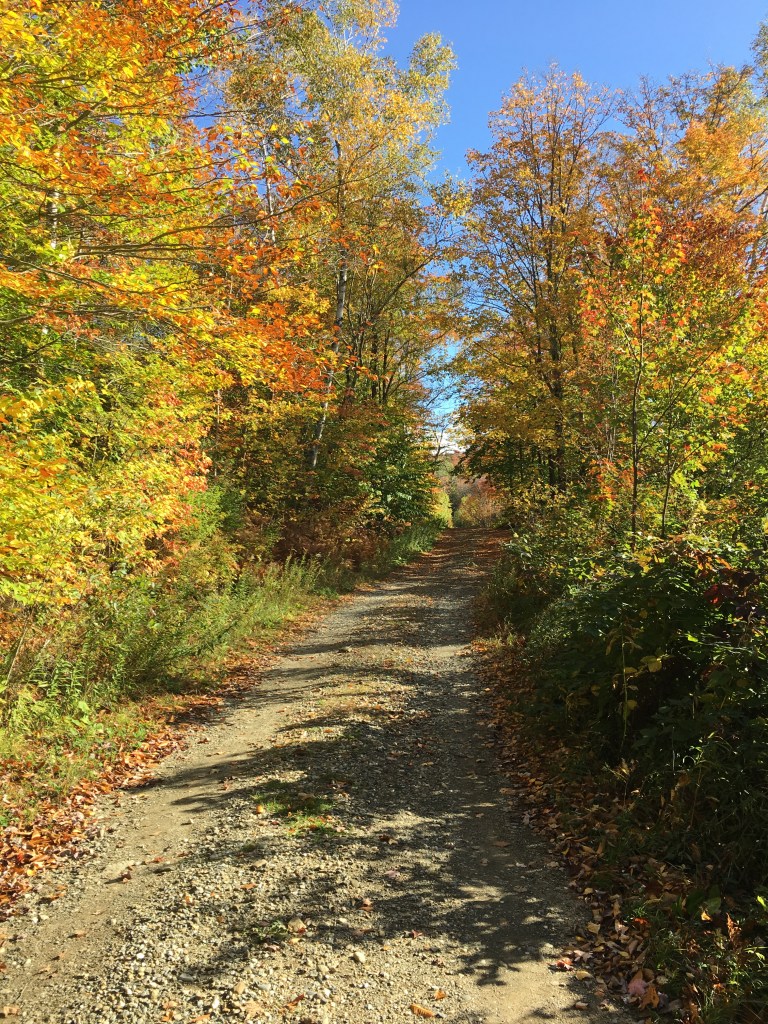
Some parts of the trail were a little more beautiful and official-looking than others:

My pack was getting easier though! I didn’t have any issues at all climbing up this ladder.
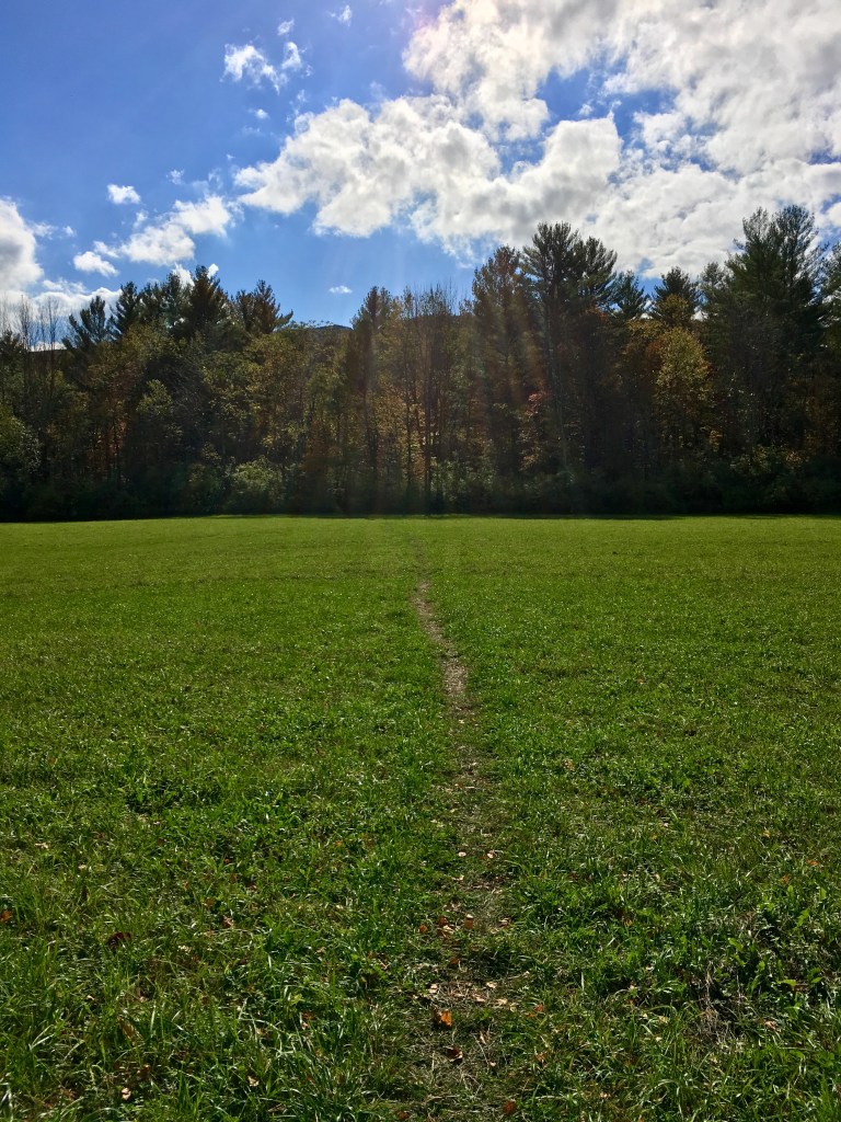
The trail continued flat for several miles through town, mostly just passing through fields and other bike paths.
At the risk of sounding super redundant, it was beautiful.
The hike out of town was a little strange. It was basically straight up a dirt road for several miles. It wasn’t particularly difficult–just a gradual incline–but it was a very long uphill.
About halfway up, it closed to general traffic and was just used for logging trucks. I only saw one couple the entire climb up.
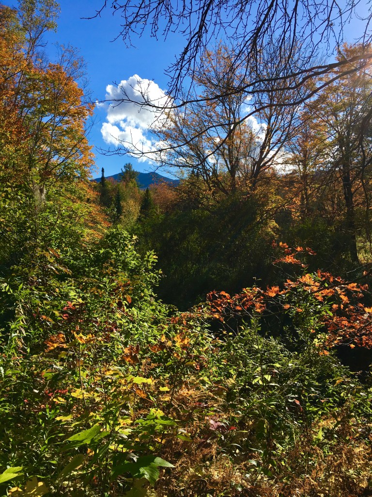
The views continued to be amazing as I went up.
I found a really nice water filling spot along the side of the road and decided to take a video to show what these stops generally looked like.
I used the Sawyer One-Gallon Gravity Filtration system my entire trip. Almost every single other person I saw on the trail used the Sawyer Mini, but I was still really happy with mine. It took up a little more room, but I just clipped the bag to the outside of my pack and it was fine. Plus, it was nice to be able to grab nearly three water bottles worth of water at a time and then filter it through as I needed it at camp. I could also do other things while it filtered and didn’t have to worry about squeezing water through.
Finally, I ended my long trek up the mountain and made it to Bear Hollow Shelter. A couple of guys were already in the shelter, in their sleeping bags taking a nap. I nabbed one of the top bunks since it was supposed to start raining in the morning.
Two older women were also there in a tent. They had a german shepherd named Dragon who was a sweetheart! I was pumped.
Another older woman showed up shortly after me and set up her tent. She had hiked the Long Trail before, but wanted to do it again this year because there was nothing else to do this fall. I could relate! I was the only SOBO hiker here, although the two ladies with the german shepherd were only doing a short section.
I ate dinner at the picnic table with the ladies while the men finally got up and ate in the shelter. It was really nice to have some gals to chat with. They all were big travelers like me and we shared many stories. It was pretty chilly as we ate and talked. The weather is finally turning!
Looking ahead, I realize that I have the toughest section coming up. Luckily, going uphill feels pretty good right now! My ankle and feet really only hurt on the downhill and I am finally starting to feel strong. I can hike long uphills at a time without being so tired that I need to stop. My pack is no longer the bane of my existence. I truly never thought I’d see the day! I am realizing now that I’ll most likely be staying at Taft Lodge (the most famous shelter on the LT just before the summit of Mount Mansfield) on a Friday night. Hopefully I can get there pretty early and that it won’t be too crowded, but we’ll see!
I wish I had gotten her name (I’m truly the worst with names), but the solo woman who showed up last said something that stuck with me (and has stuck with me in the weeks since I finished the trail). People don’t realize how hard the Long Trail is. It was the first long distance trail ever made, long before they knew about switchbacks and gradual inclines. The trail just goes straight up and straight back down every mountain. And oftentimes it follows the same path as the water runoff, making it quite difficult. Because of the low elevation (more than 10,000 feet lower than the Pacific Crest Trail), people often scoff at the LT and think it’s an easy little practice trail. But that’s not the case. True thru-hikers know that it is actually one of the most difficult trails in the country. This made me feel a lot better about how much it was kicking my ass. Someday I do hope to do part of the PCT (or even the John Muir Trail, which is a 211 mile section of the PCT) and maybe, just maybe, it will feel super easy to me since my first hike was this monster.
A younger guy and girl showed up around 8pm, well after sunset, and were kind of noisy as they settled own into the free bunk and ate dinner and everything. It was a little annoying, but I was obviously still awake anyway so it didn’t really bother me. It also sounded like they had had a pretty rough end to their day. It happens. The guys in the bottom bunks had said they were going to get up really early to try to beat some of the rain though so they were probably much more annoyed than I was.
(Overall, I was feeling really, really good here after a truly perfect day of hiking. But to end on a cliffhanger: this highest of highs is about to come crashing to the ground. Day 8 is about to bring a mental breakdown of epic proportions.)
