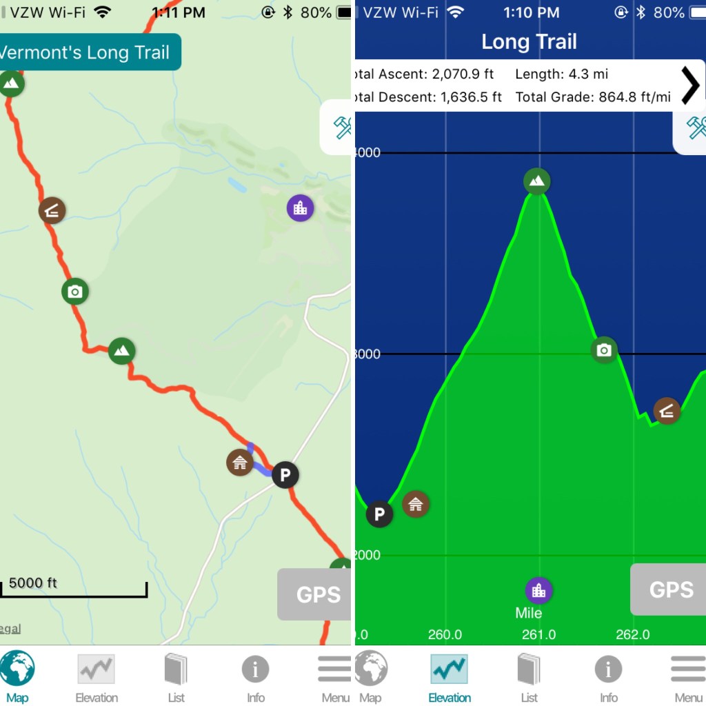
Long Trail miles: 8.8
9.26.20
75˚ and sunny
Hazen’s Notch Camp
“LOL at thinking I could hike 14 miles today.”
Alright, my first real day on the trail! I had a pretty good morning at camp. I took my time breaking everything down and filling up my water, making me the last person to leave camp.
A quick look at Guthook shows me that I’ll be conquering Jay Peak today, a 3,858 footer and very popular day hike. I didn’t put together in my head that it was a Saturday so there would be a lot of day hikers until I got close to the summit. Luckily, day hikers don’t take the Long Trail southbound trail up to the summit so it was a pretty quiet morning as I made my way up.

After what seemed like an eternity of climbing (less than 400 feet), I came to this lookout over the ski slopes. It was incredibly disheartening to see the ski station at the summit so far away from (and so far above) me. In general, I always hate hikes where you can see where you’re going. I’d rather just hike blindly for hours and then come upon the summit than constantly see how slowly I’m making my way to the top.
My energy was already fading at this point, less than a mile into my day. The heat didn’t help. I ended up taking my pack off here for a few minutes and just laying on the ski slopes. It was a bad idea. Getting the pack back on is hell to begin with, getting the pack back on when there aren’t any rocks or anything to prop it up against is nearly impossible. Luckily no one was around to film me because I’m sure it was quite the spectacle.
I carried on. I knew this was my first big challenge. It’s the tallest mountain in the Northern section of the trail and the last major climb for Northbounders. I was feeling pretty comforted knowing that this was the highest mountain I would have to climb until Mansfield. (Silly me thinking that meant it would be the hardest until Mansfield.)
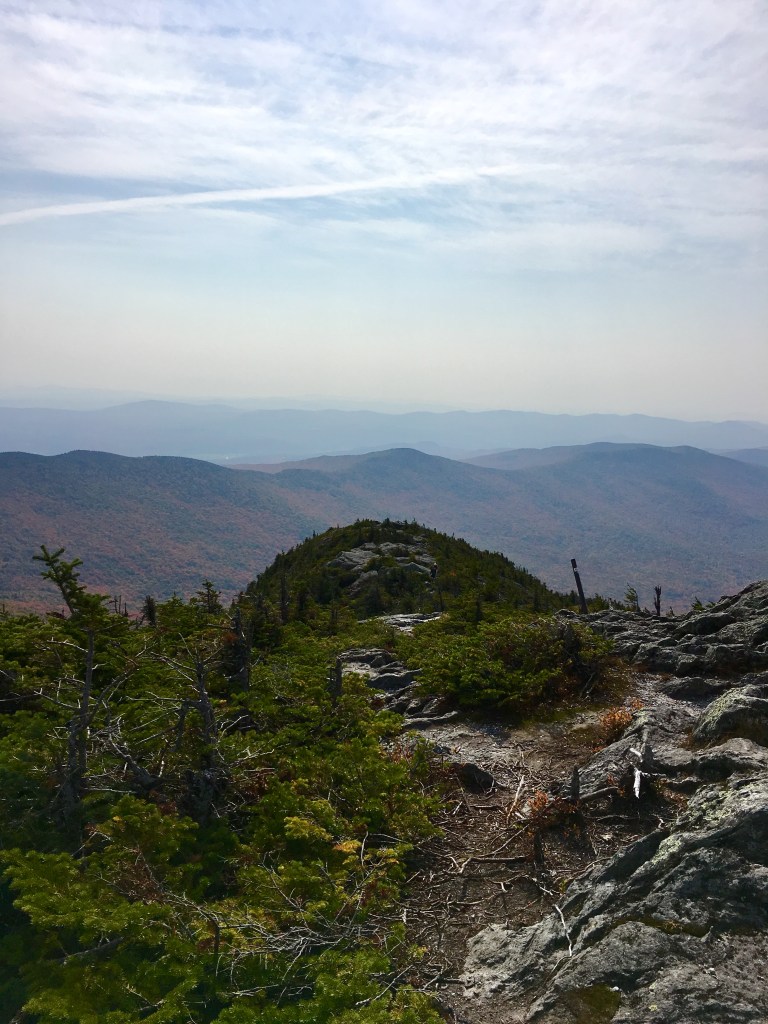
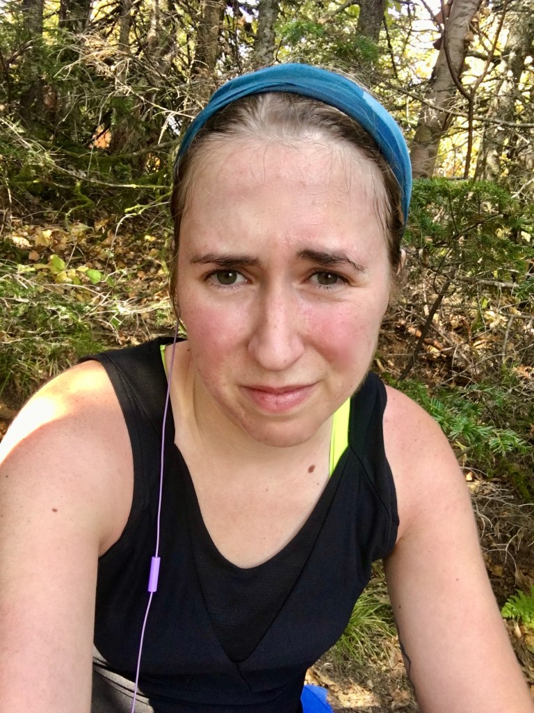
Yeah, that face about sums it up. The last quarter of a mile or so was just straight up these rocky ski slopes. (They don’t look super steep, but these sections of the trail were always my least favorite. It’s one thing to be climbing up a steep section of trail when there are rocks and branches to act as stairs to propel you upward, but when you’re just walking up a flat, steady incline, it’s torture. There aren’t even places to stop to rest because there isn’t any even ground. I hated it.)
It was also on a curve so I could no longer see how much further I had to go. Remember when I said I usually hated that? I lied. This was worse. Eventually I gave up on the idea of powering through to the top and collapsed on top of my pack. I didn’t even unstrap it, just used it as a pillow. I laid there for awhile in the sun until a couple of girls my age doing a day hike and their ADORABLE german shepherd named Ronan came bounding up around the bend. Ronan ran right up to me and covered me in kisses which was truly all the motivation I needed to power on through the rest of the way.
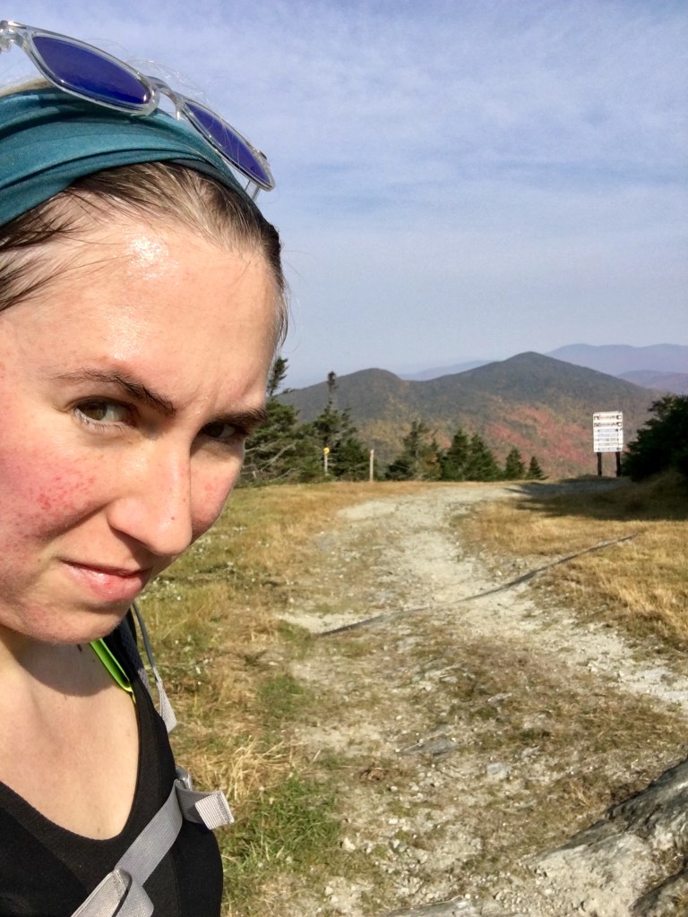
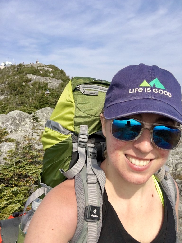
It was pretty crowded at the top. I found a place slightly away from the masses to take a rest, eat a snack, and check in with some friends and family on my phone.
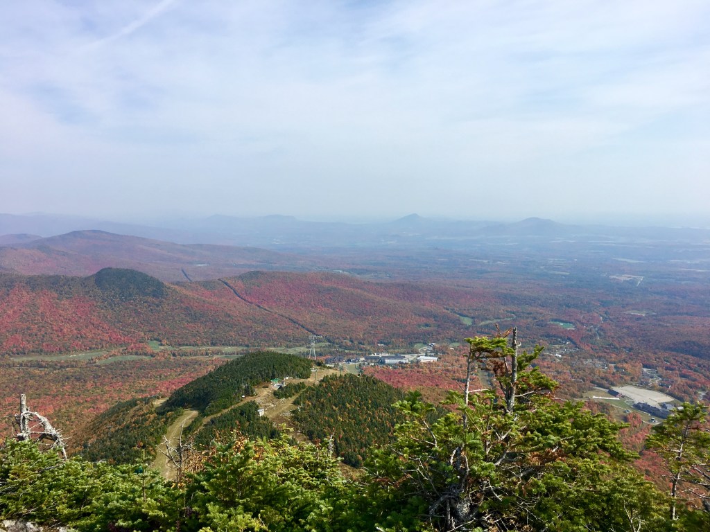
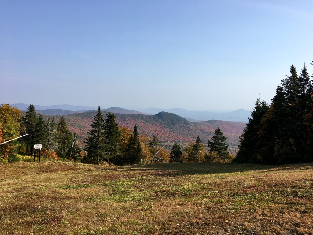
It was kind of hazy so I couldn’t pick out any mountains that I knew. There were no views of Mansfield or the White Mountains like I’d hoped. But the foliage was a very interesting burnt red color. (I wouldn’t see anything quite like that for the rest of the trip.)
After about a half an hour, I couldn’t justify sitting still any longer and reluctantly strapped my pack back on and began the descent. (Again, I’m glad I couldn’t see the elevation on the map yet because this was my first DOOZY of a downhill. It was steep and never ending.)
I passed a lot of day hikers on this side of the mountain. But it was honestly kind of nice (except for the guy with the Trump flag hanging out of his day pack). People were fascinated with my pack and asking a lot of questions, which is something that would normally annoy me, but it was kinda nice when people were impressed that I was doing it by myself and had words of encouragement.
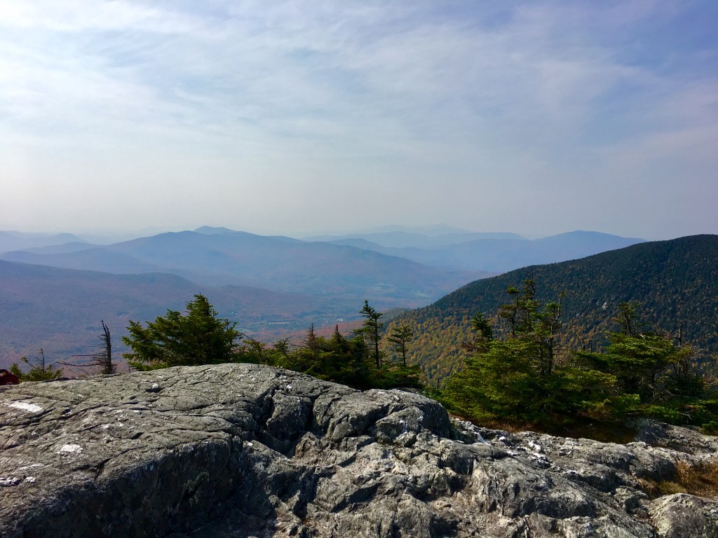
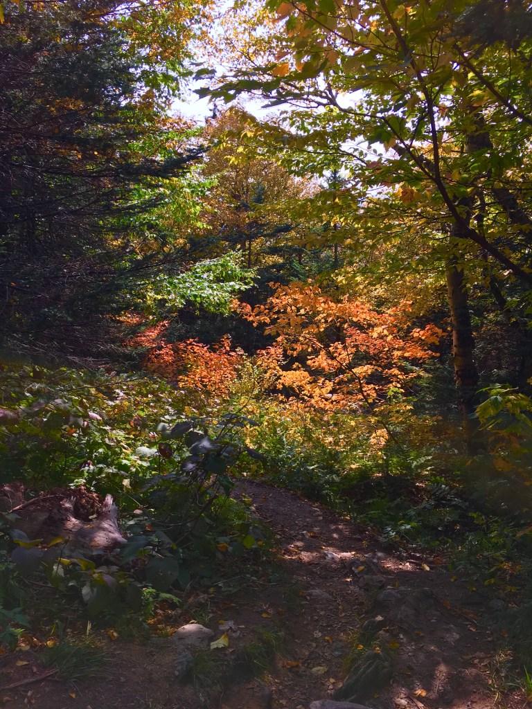
As steep as it was, it was a very beautiful hike down through the woods. The foliage and lighting were perfect.
I finally made it down to the road and off this first mountain that had truly kicked my butt. I still had a ways to go though, I had only hiked for 3 miles. I realized at this point that I wasn’t going to make it to the shelter that I wanted (one that was still 11 miles away) and decided to stop at Hazen’s Notch for the night. Even this was still almost six miles and three mountains away. Luckily, they were relatively small mountains, especially compared to the behemoth I had just summited.
But it still wasn’t easy. I remember thinking at this point that I will never get used to this pack. I’m going to struggle for the entire three weeks, aren’t I?
I met my first solo female thru-hiker a couple of miles before camp! She was heading NOBO and only had two days left. She assured me that it would get easier and reminded me that I was conquering the hardest part first (I know, I know). It really turned my mood around to see someone just like me who had actually done the whole thing (well, just about). I practically skipped the rest of the way down into camp.
It was a very good decision to give up on my 14-mile-day pipe dream. I planned out this trip more than I should with where I wanted to be by what date (all of which would obviously implode), but I never looked too closely at shelters or where I would stay each night. I would make tentative plans the night before for where I wanted to hike to the next day, but I think I did a pretty good job all around of listening to my body and not being afraid to stop early if I needed.
This “early” stop gave me time to actually cook a hot dinner and go through my bedtime routine (getting water for the next day, brushing my teeth, taking out my contacts, changing into “pajamas” to air out my sweaty clothes) all in the daylight. It’s the little things.
Riley and Ana were also camping at Hazen’s Notch and we officially introduced ourselves. Riley was a dog that I briefly met the night before while I was hanging my bear bag. A dog staying in the shelter started barking at me and ran over to check me out. We put two and two together that it was me and her when she barked at me again at this camp. Ana was Riley’s owner and the first fellow SOBO hiker I met. She was hiking with Riley and a friend (whose name I think was Ben, but I’m the worst.)
(We would keep following each other for a few days until I had to step off the trail for a day. I was very sad to say goodbye to Riley.)
Again, I’ll close this post with the last thoughts in my journal before I went to bed:
“I’m very hot in my tent and still not tired at all. It sounds like some people just showed up in the dark to set up camp. Pshhh amateurs!
I wonder if I’ll ever actually stay in one of the shelters. I think I’m too much of a baby to do that. Plus, I always arrive pretty late to camp.
My goal is to get up and moving earlier tomorrow.”

2 thoughts on “Long Trail Day 2: Jay Peak and Weekend Crowds”